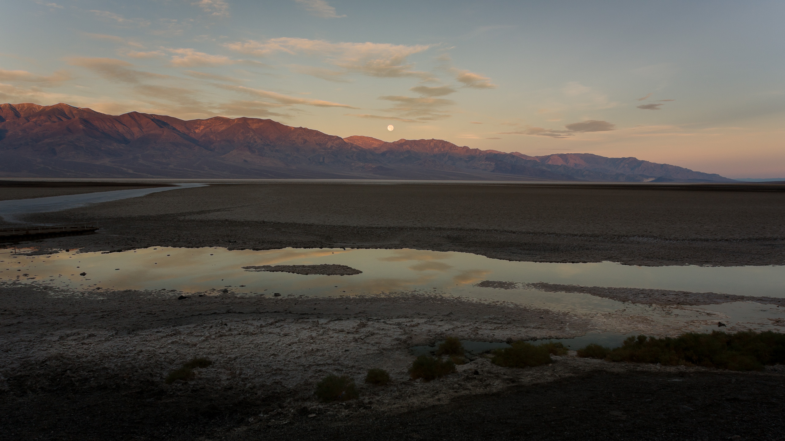
What a day of extremes. We got up and out of the tent around 05:30 to drive over and catch the sunrise at Badwater, the lowest point in the Western Hemisphere at -282 feet below sea level.
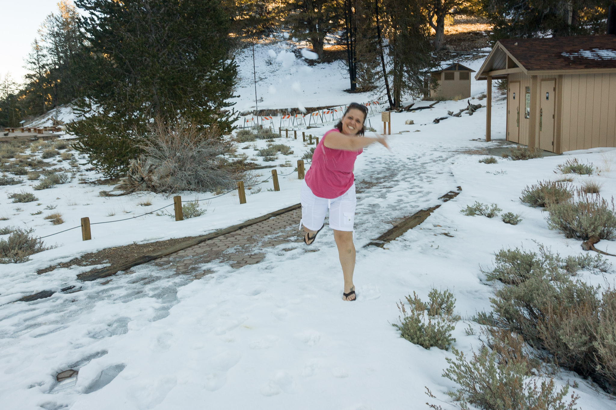
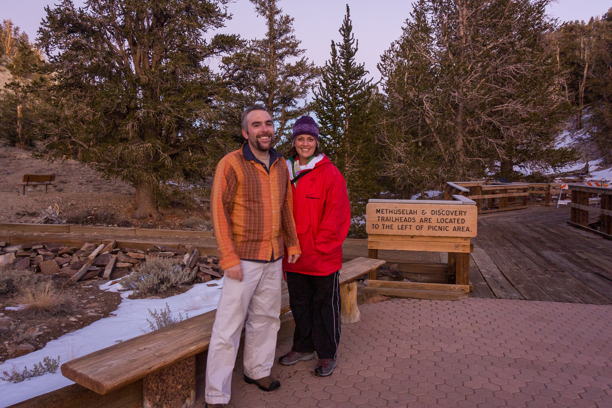
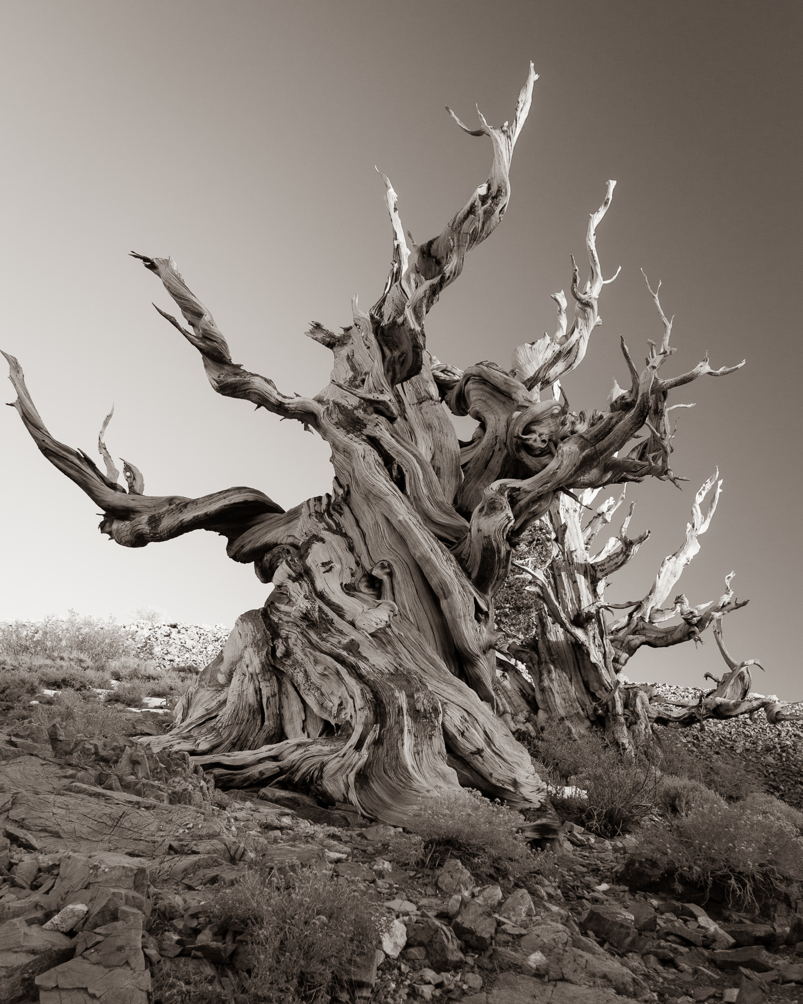
By the end of the day we had taken a short hike around Ancient Bristlecone Pine Forest at 10,000 feet above sea level, and could gaze across the valley at Mt. Whitney, at 14,505 feet the highest point in the lower 48 states.
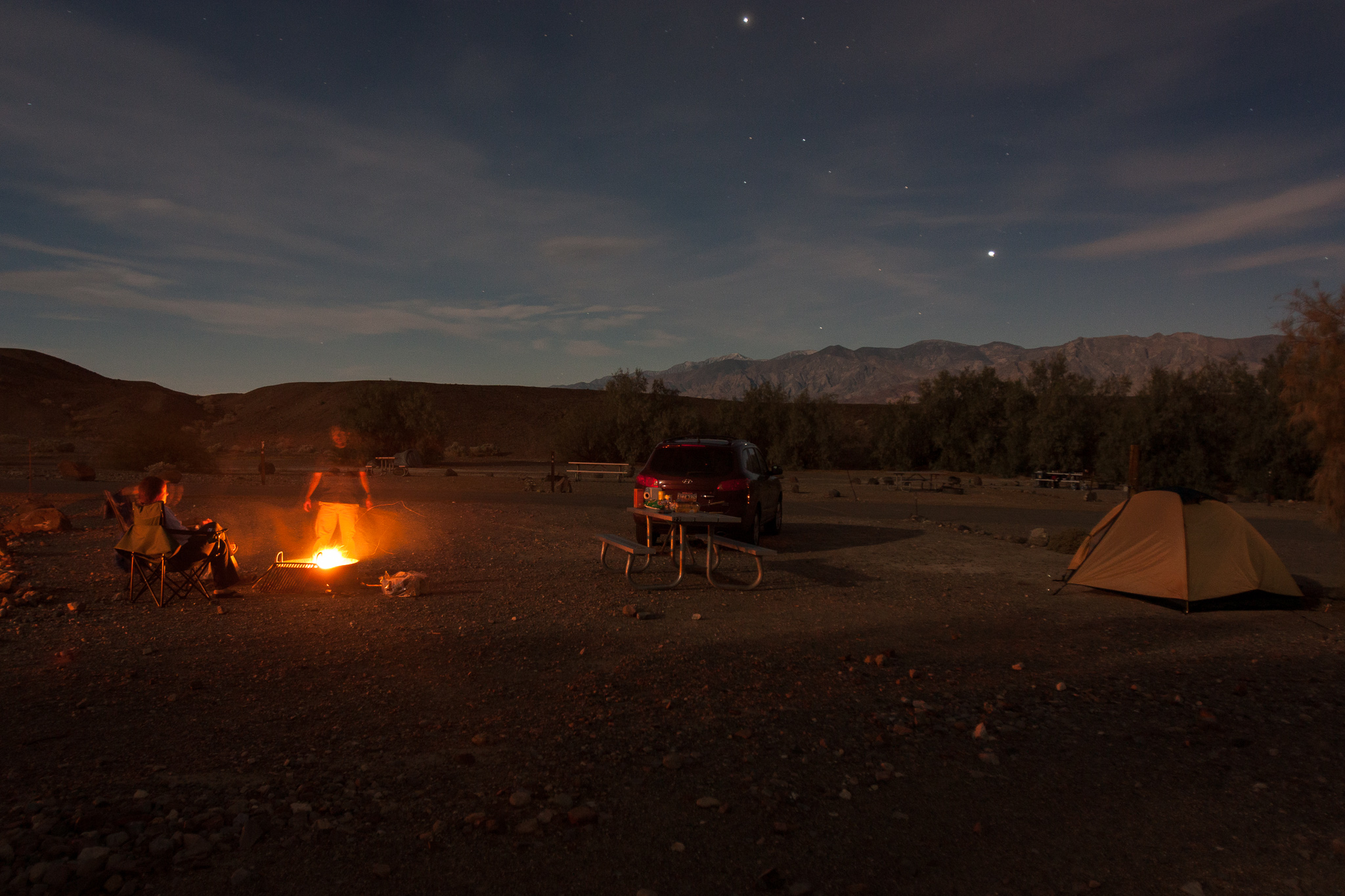
| Start location: | Death Valley, CA |
| End location: | Big Pine, CA |
| Miles today: | |
| Miles total: | 3113.5 miles |
| Min altitude: | -282 ft |
| Max altitude: | +10,000 ft |
| Min temp: | 41F |
| Max temp: | 80F |
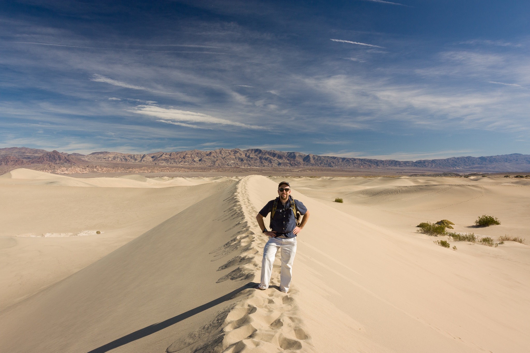
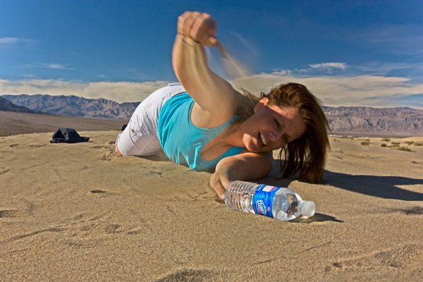
We sweltered our way across dunes in the scorching desert floor of Death Valley and threw snowballs at each other about five hours later.