Last April I made a road trip to Los Angeles that theoretically included a stop in Death Valley. While the trip overall was great, the Death Valley portion didn’t go so well, and I wasn’t able to make any tintypes while I was there.
For my next trip to Los Angeles I decided to try Death Valley again, as well as follow a tip from a friend to visit the Alabama Hills area of California.
The LA portion of the trip was mostly work and few photographs. From there I drove north and camped at Lava Falls. The next morning I drove on to the Alabama Hills area, outside of Lone Pine, California, on the eastern slopes of the Sierra Nevada.
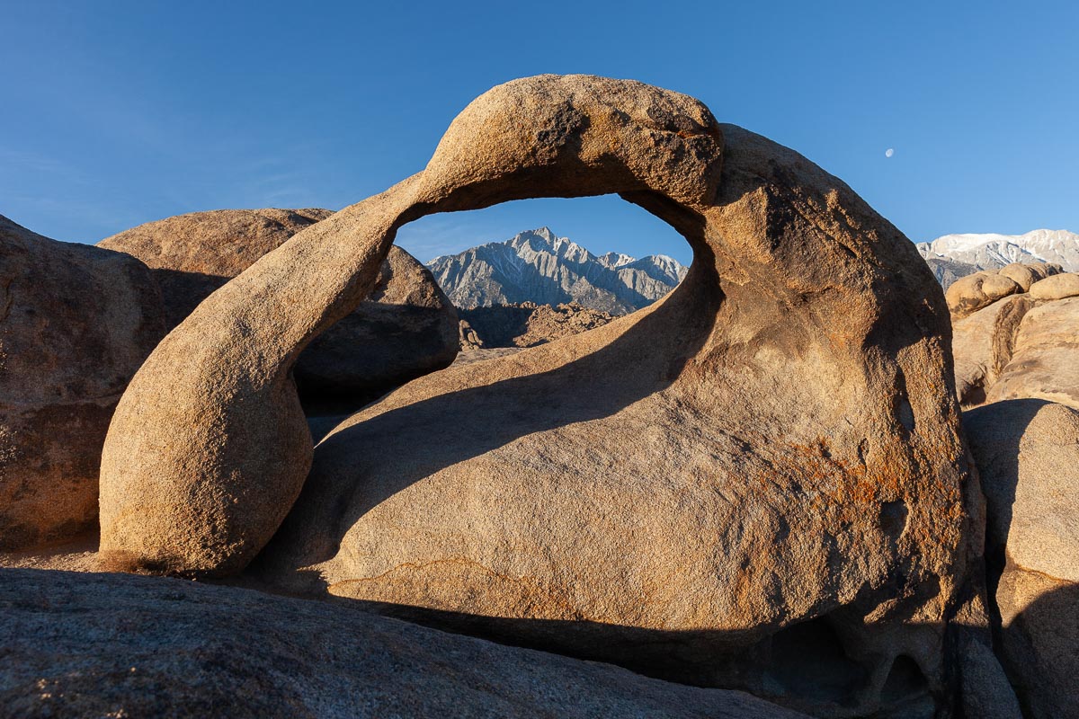
I realized I had passed by the turnoff several times in my previous travels, and had no idea that this amazing area even existed.
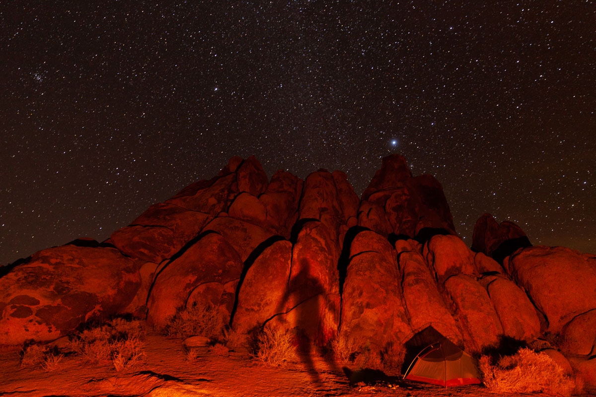
I found what I thought was a great campsite, but unfortunately discovered the hard way that what I thought was a pullout for camping was actually a loop road, if you had a high-clearance 4×4 to get through it, as several people did between midnight and 2am…
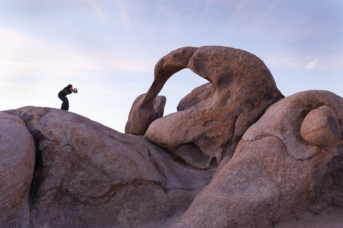
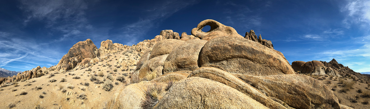
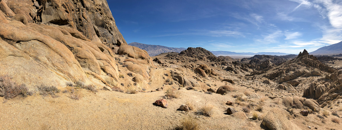
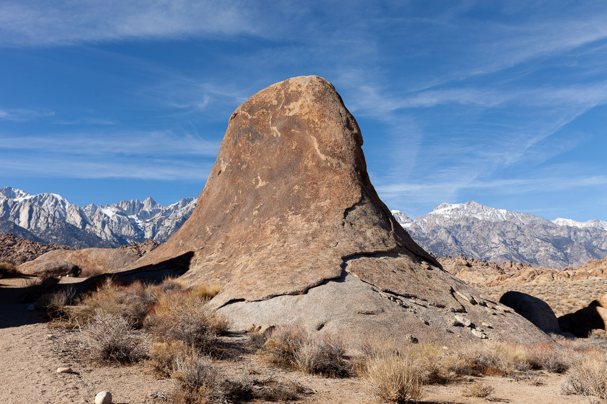
The Alabama Hills are another of these areas where I felt like having a small cart to get my tintype gear further from my car, so I spent my time there hiking and exploring, and making photos with my new iPhone and its spiffy dual-lens camera. (And my old Canon DSLR too, of course.)
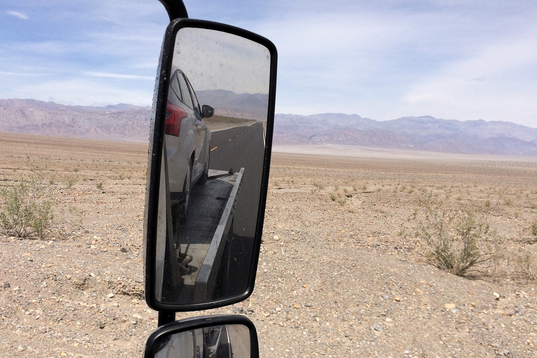
After leaving the Alabama Hills I met up with a relative in Ridgecrest for some brunch, then finally made it back into Death Valley. Actually ended up driving over a pass and down the same road that my car died on during the previous trip.
I set up camp at one of the main sites, which was a huge mistake. The nicer part of the campground was completely full, so I got a spot in the gravel parking lot that passes for a campground on the hillside above. There was about 4 feet between my tent and the roaring campfire at the spot next to me.
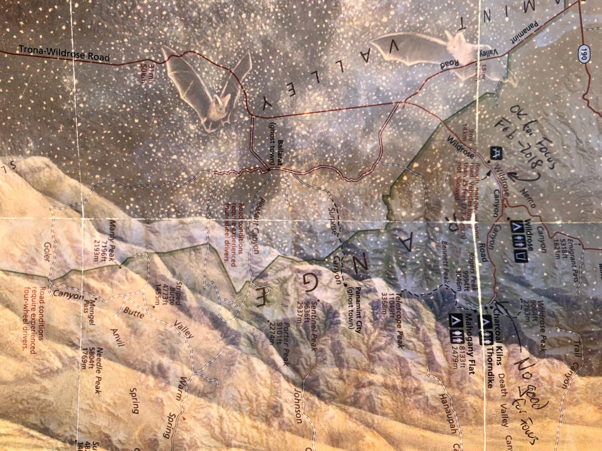
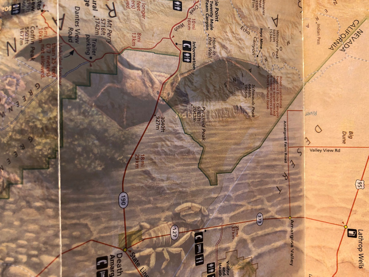
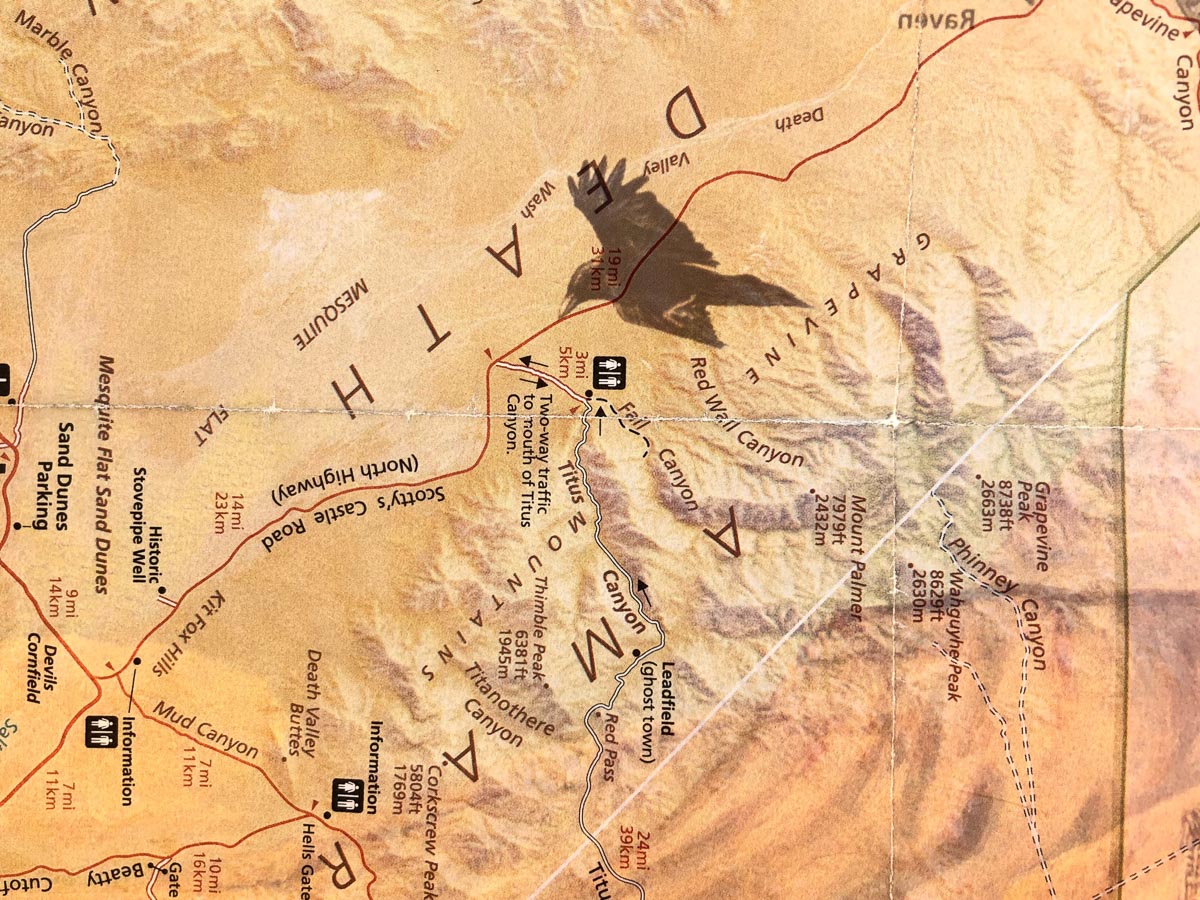
At one point I was holding up one of the park maps to flip it over, and caught the sun shining through, which inspired a few photographs:
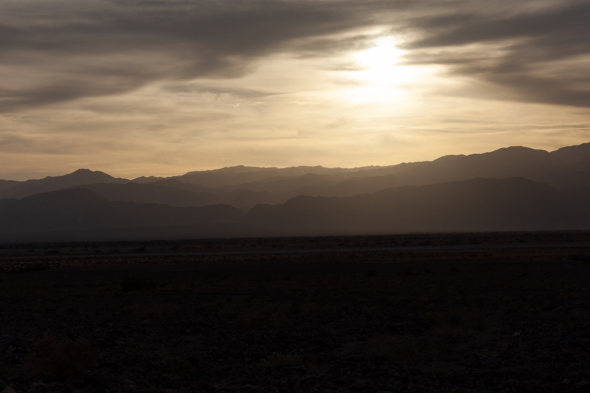
After I claimed my spot I went location scouting for the next day’s tintyping. Thought I’d try Badwater Basin, but it wasn’t exactly how I remembered it from a trip 10 years ago, and I wasn’t inspired to set up my gear.
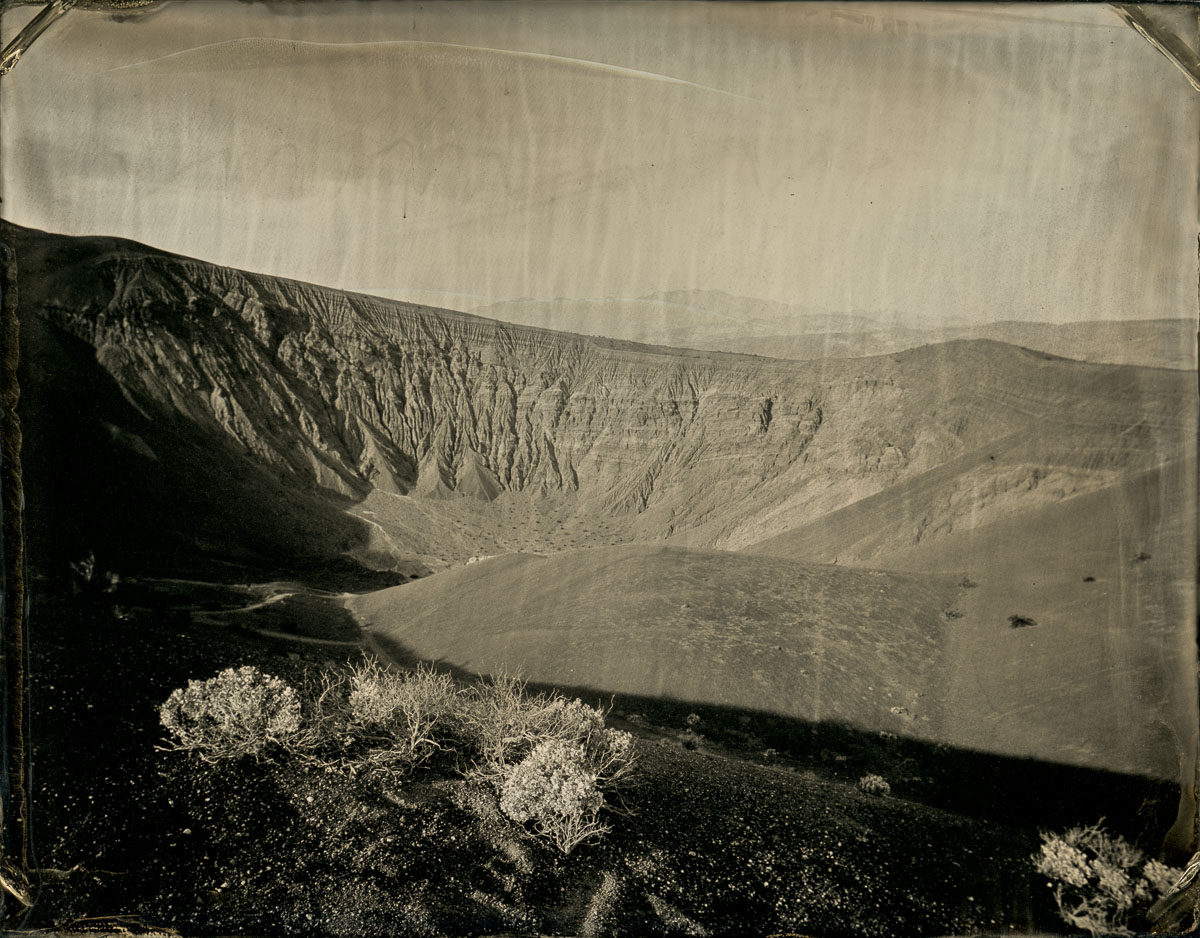
The next morning I headed up to Ubehebe Crater and set up shop in the parking lot on the crater’s lip. In the end I really only made one composition (the first photo above). Spent a lot of time talking to people instead of making tintypes, which was rewarding in its own way.
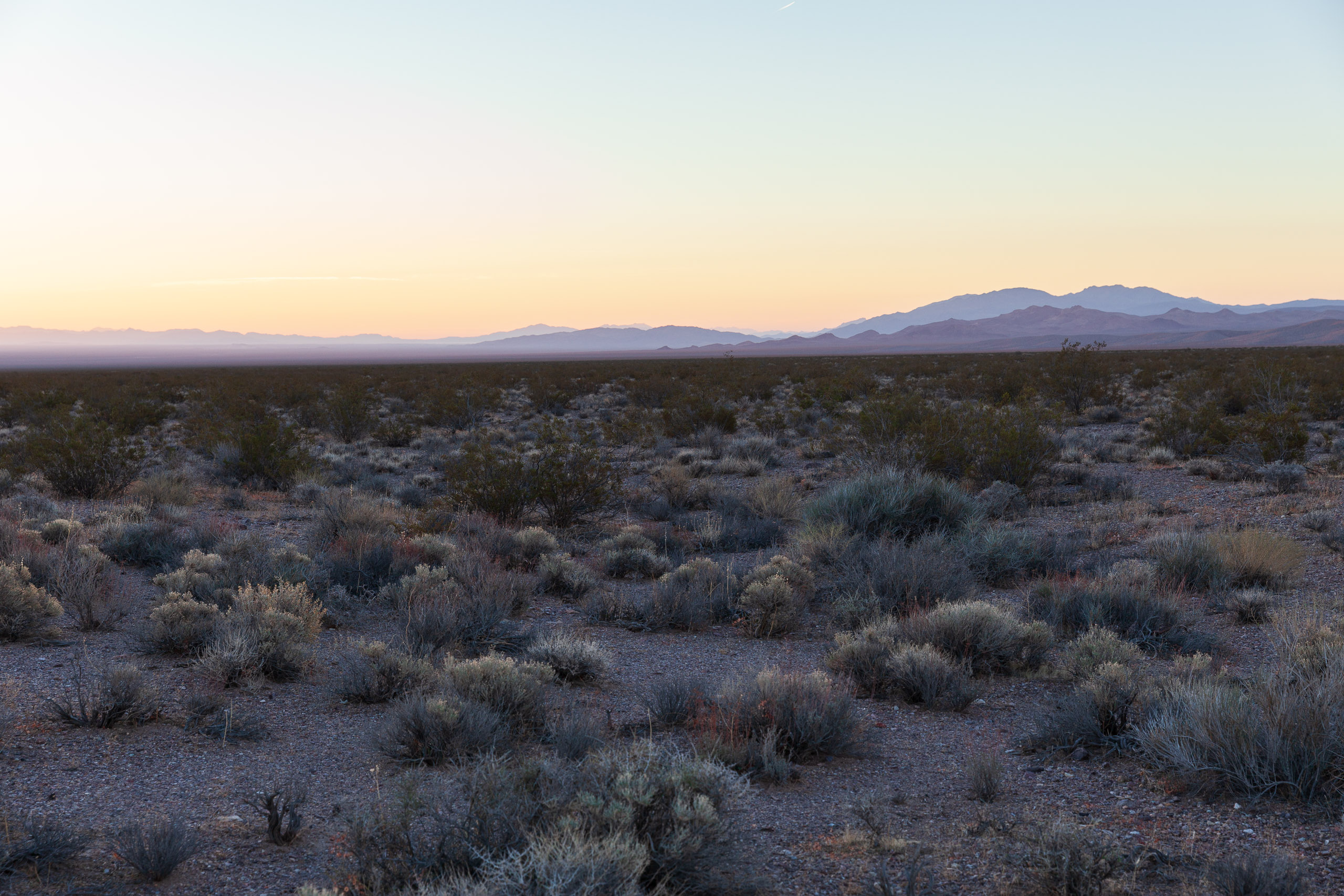
I didn’t really want to pay for camping at all, and certainly not in the campground I had been in, so I headed out of the park and up onto BLM land near Rhyolite, Nevada.
Found a wonderful simple place to pull off and set up camp – much better than the night before!
After a great night’s sleep I checked out the ghost town of Rhyolite, which I had seen before, and its cemetery, which was new to me.