At some point early in 2018 I decided I needed to be an adult for a while and get a regular job. That is a story for a very different post some day, but the relevant point is that I haven’t been able to get out on the road as much as I would like. I did put my foot down, though, and took off for two weeks in October to make some tintypes and get my slickrock and juniper fix.
First stop, as it often is, was Badger Canyon at the base of the Vermilion Cliffs. By the time I actually leave Tempe, meet Shane for breakfast and advice and stock up on fuel and groceries in Flagstaff, I’m lucky to get this far before dark. The BLM land there along Marble Canyon is a nice easy spot to chill after the long drive up.
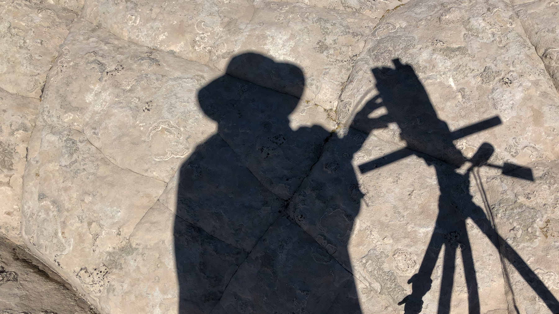
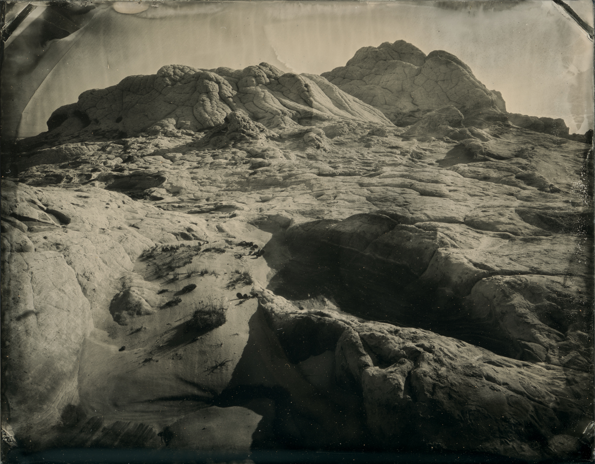
After breakfast I headed up to White Pocket on top of the Paria Plateau / Vermilion Cliffs area. I had been there before, but didn’t haul my tintype gear out to make plates. This time I thought I had it figured out: a beach cart to haul my stuff.
Yeah, it didn’t work. The “beach cart” couldn’t handle the sand – I need bigger wheels – and it was completely flummoxed by the uneven rocky terrain. I ended up carrying everything anyhow.
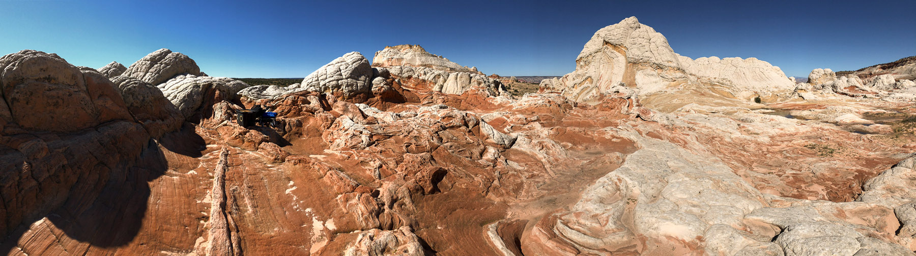
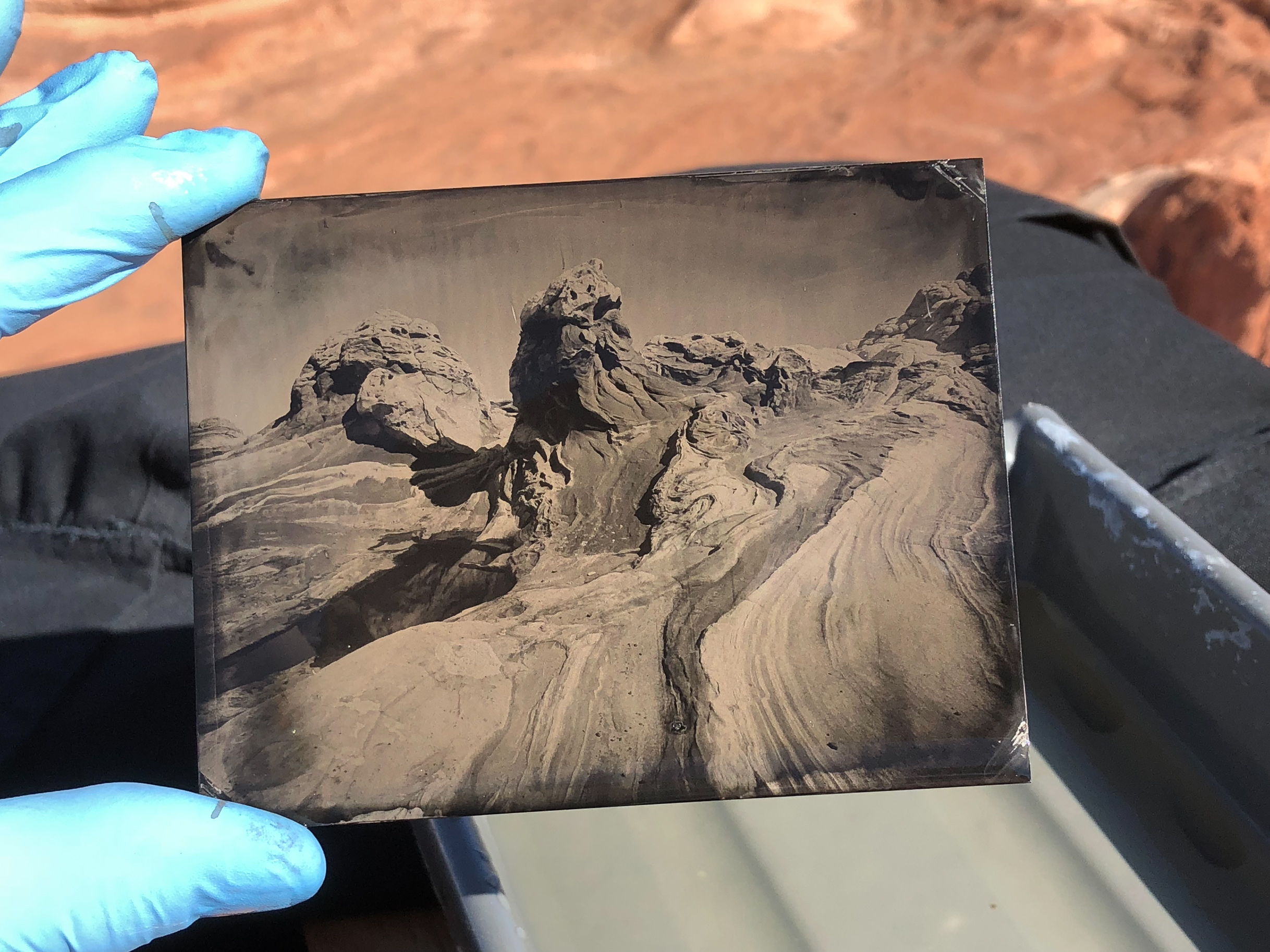
White Pockets is a pretty great place to be, but this was a work trip, and after two full days there – and after having gone from the Phoenix valley to around 7000ft elevation, I was pretty wiped out. The third day of every trip seems to be when it all catches up with me and I get through thanks to Vitamin I (ibuprofen)(a.k.a. “pain candy”).
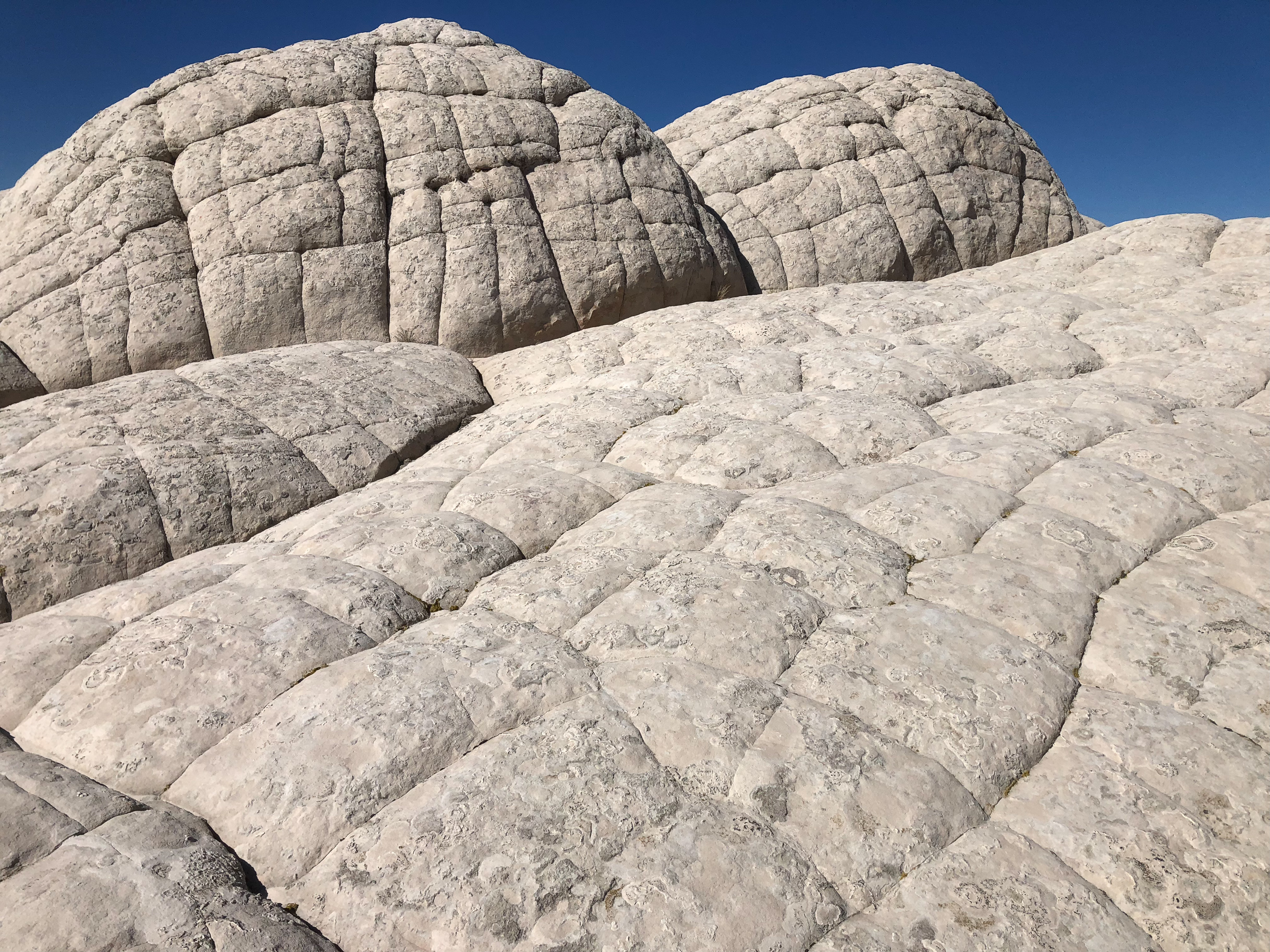
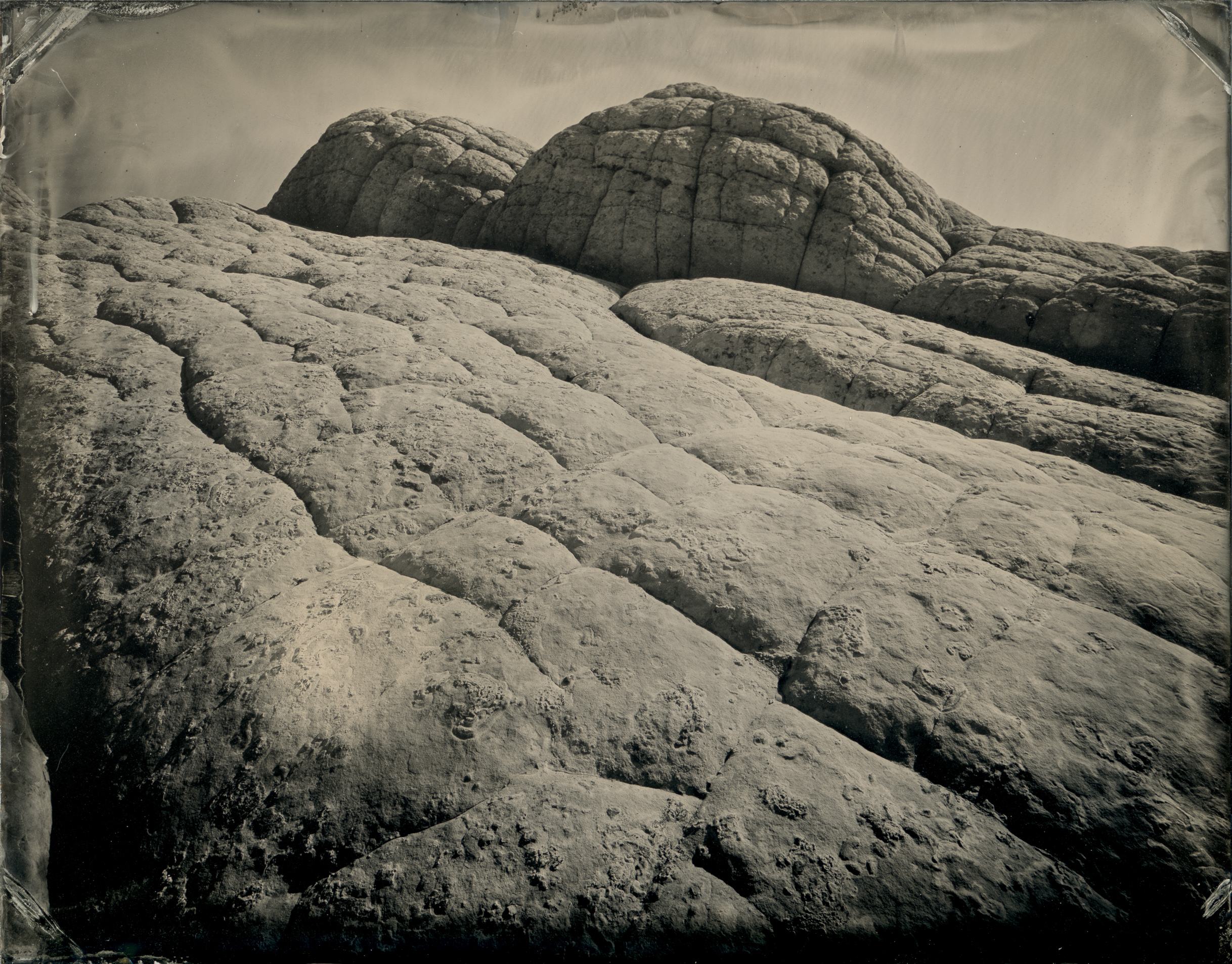
I really feel like I could spend many days photographing at White Pocket and not come close to being bored.
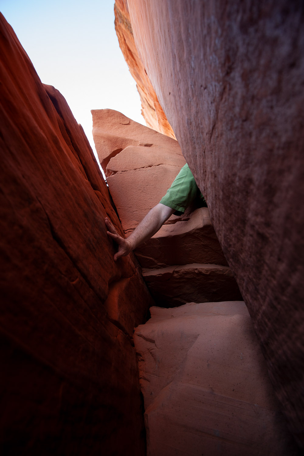
I had hoped to use the cart to get back in to the Wire Pass slot canyon, but after my experience up at White Pockets I decided it would have to wait, again, for the wetplate treatment.
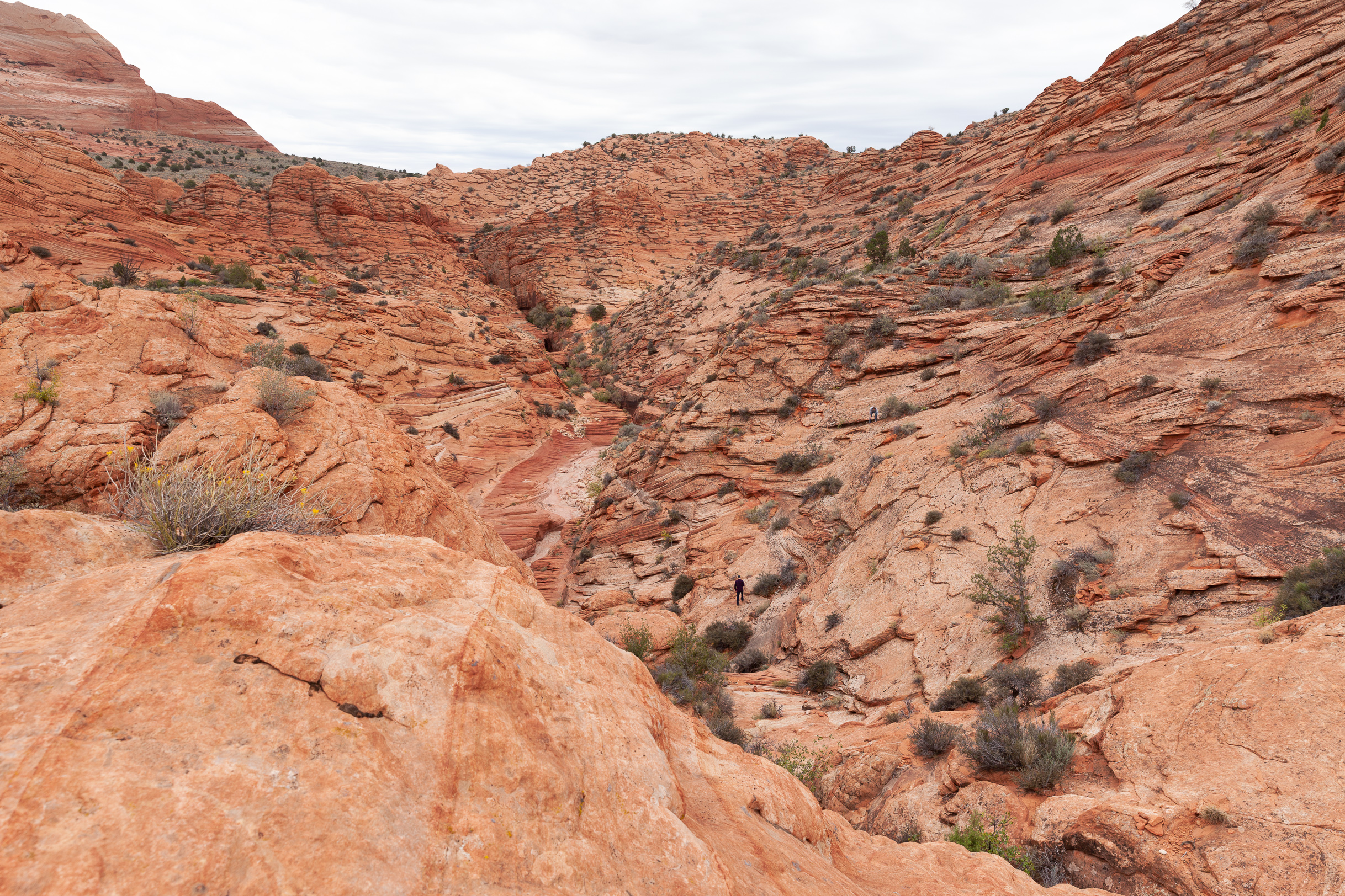
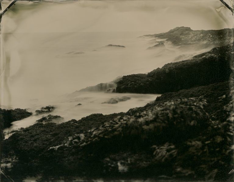
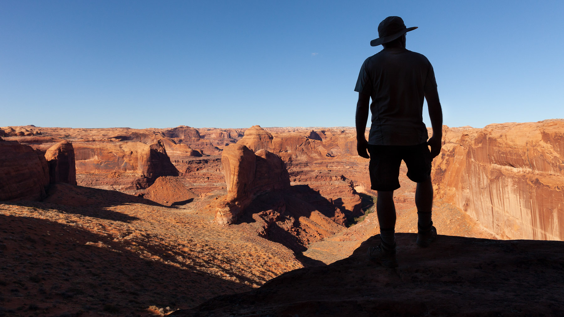
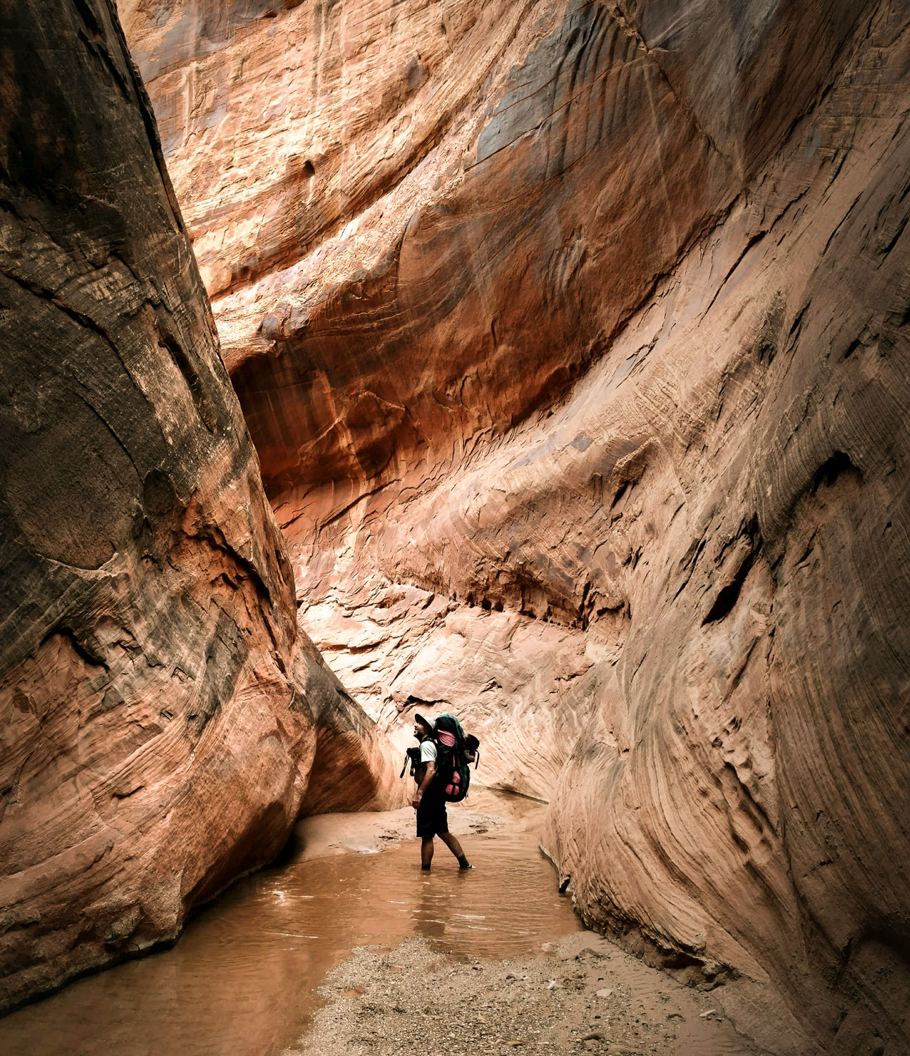
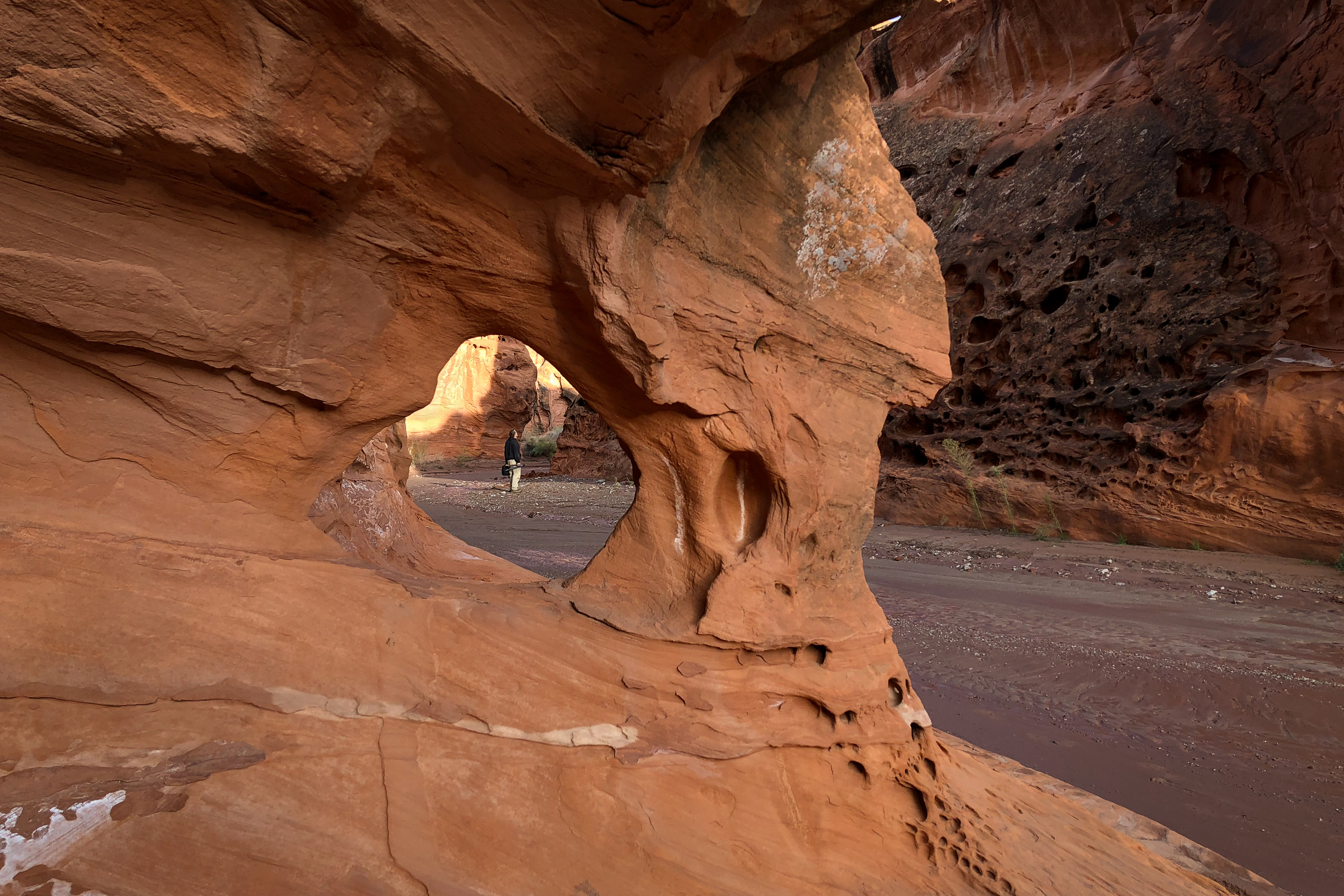
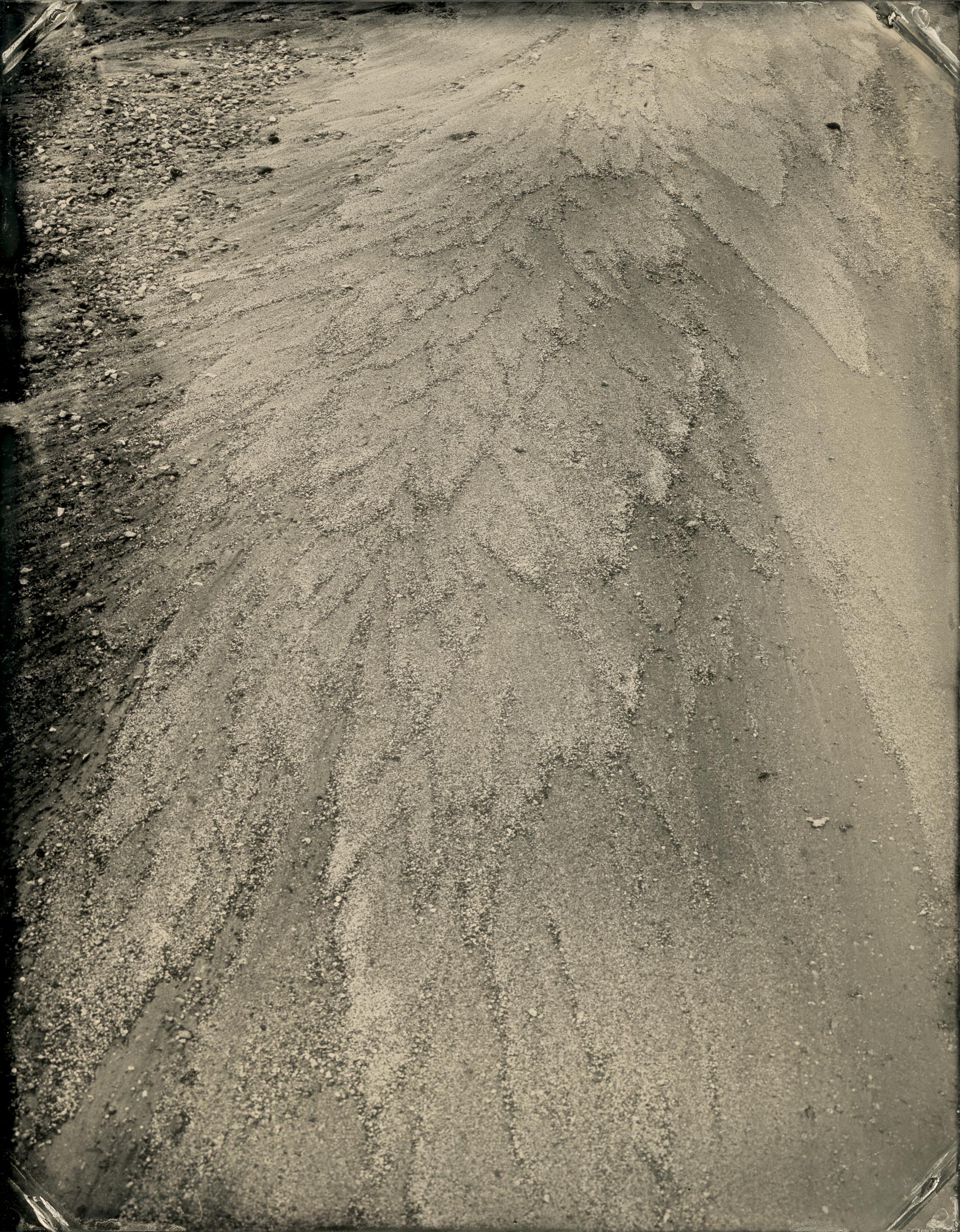
I still hiked back in there, just because it’s really cool. After the first part of the slot canyon it opens up a bit, as seen in the photo above. If you look closely you can see two people near the center of the image, just to give a sense of scale.
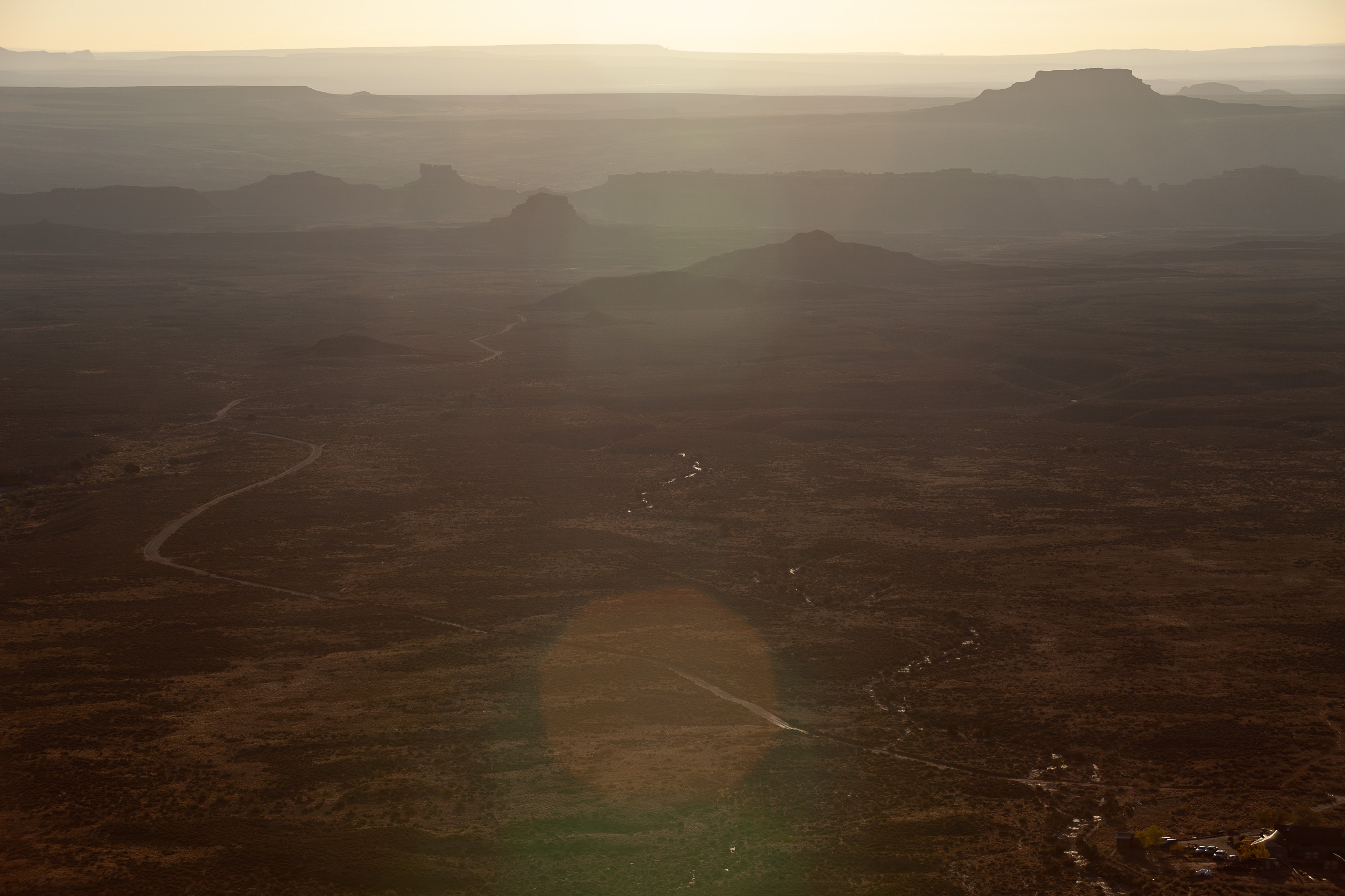
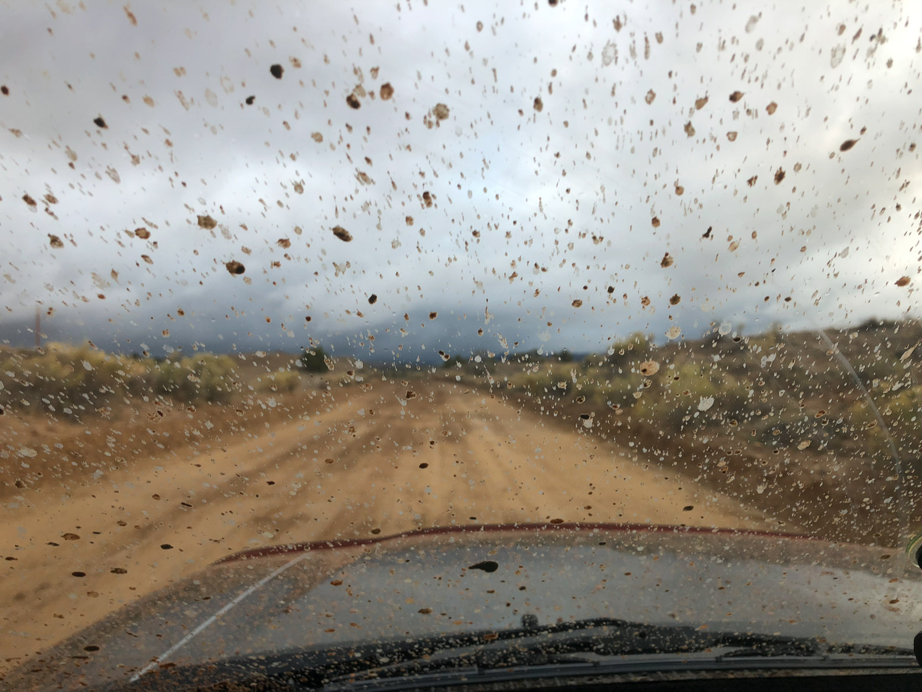
My plan, from Wire Pass, was to drive up past Lake Powell and through the middle of Grand Staircase-Escalante National Monument. It had been, as everyone told me, a very wet fall, however, and the roads were not advised. I worked my way around, but every time I stopped to check on road conditions I kept getting bad news, and ended up going much further west than planned, just to stay on pavement.
I ended up camping up Skutumpah Road, with the hope of continuing on over to the Willis Creek slot canyon in the morning. Morning, though, brought a snow squall. I watched some trucks go by as I drank my coffee, and when a minivan went past I thought “if they can make it, so can I” and made plans to head out. Fortunately before I had packed up all of the vehicles – the minivan and some serious 4×4 trucks – all came back. I flagged one down and asked about the road on up the mountain and was told it was an icy muddy sloppy mess.
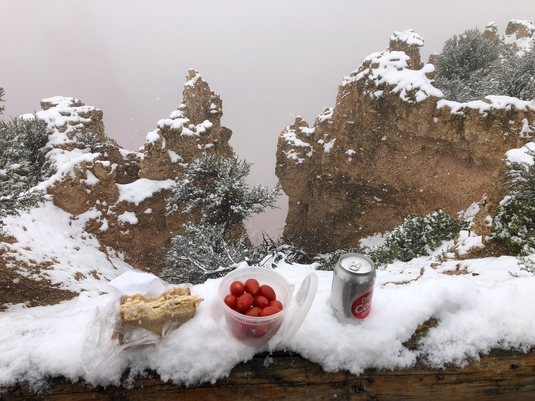
So I figured I’d check out Bryce Canyon National Park again! Not much to see through the clouds, but it’s still a beautiful place.
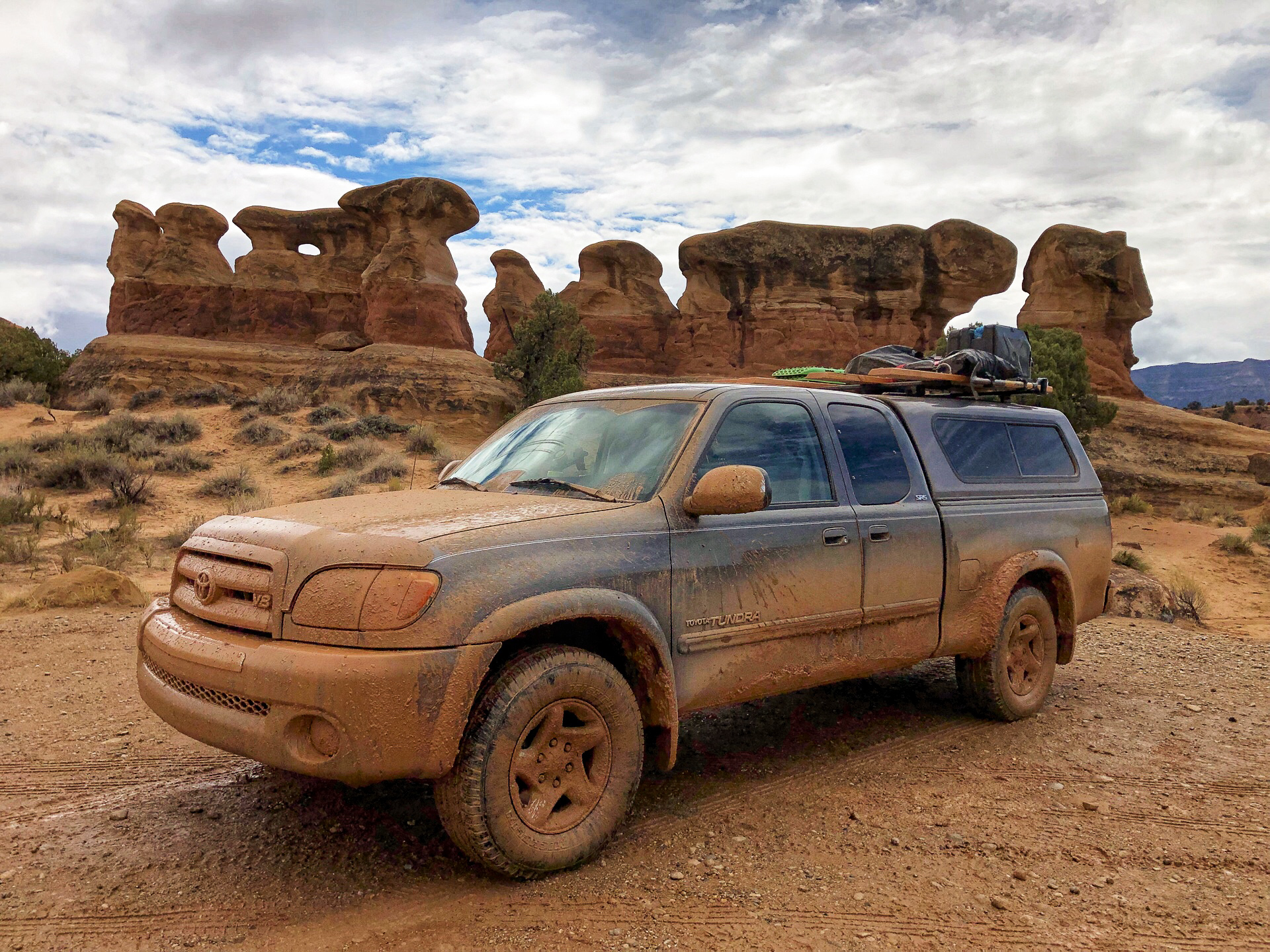
I finally got some more positive news from the folks in the Interagency Visitor’s Center in Escalante. The Hole in the Rock Road was apparently muddy, but passable. Turns out that was pretty accurate! And I passed some of it sliding along at a 45 degree angle!
(Update from July, 2019: I still have Hole in the Rock mud caked to parts of the underside of my truck!)
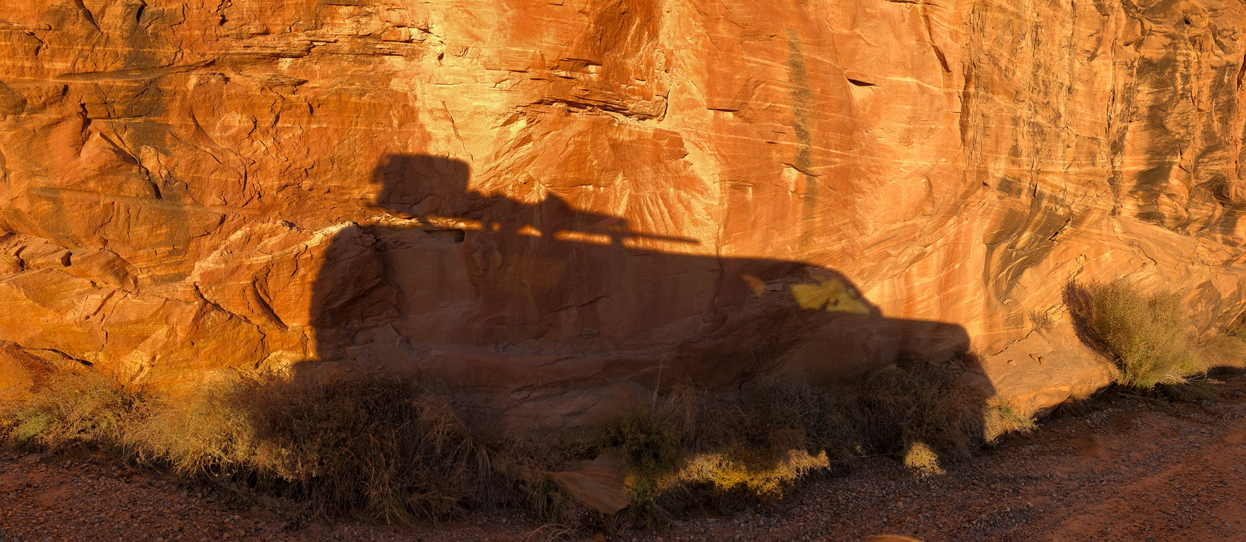
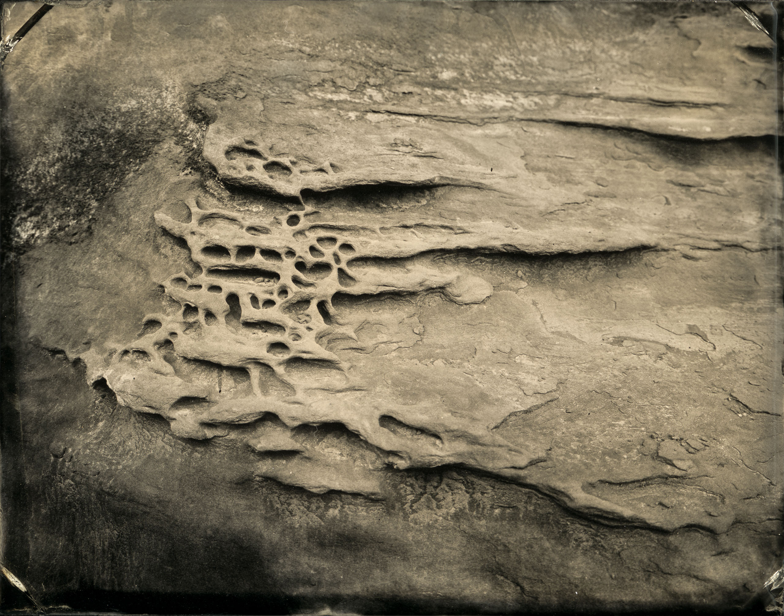
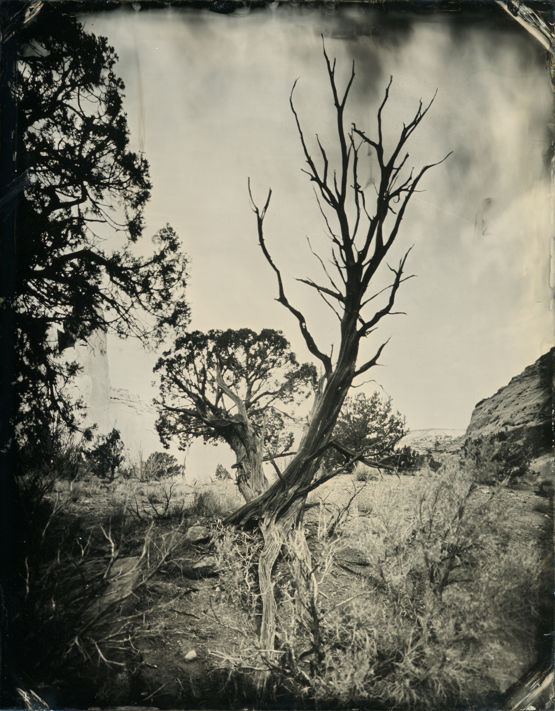
This time around I hauled out the darkbox and view camera and made a few tintypes at Devil’s Garden.
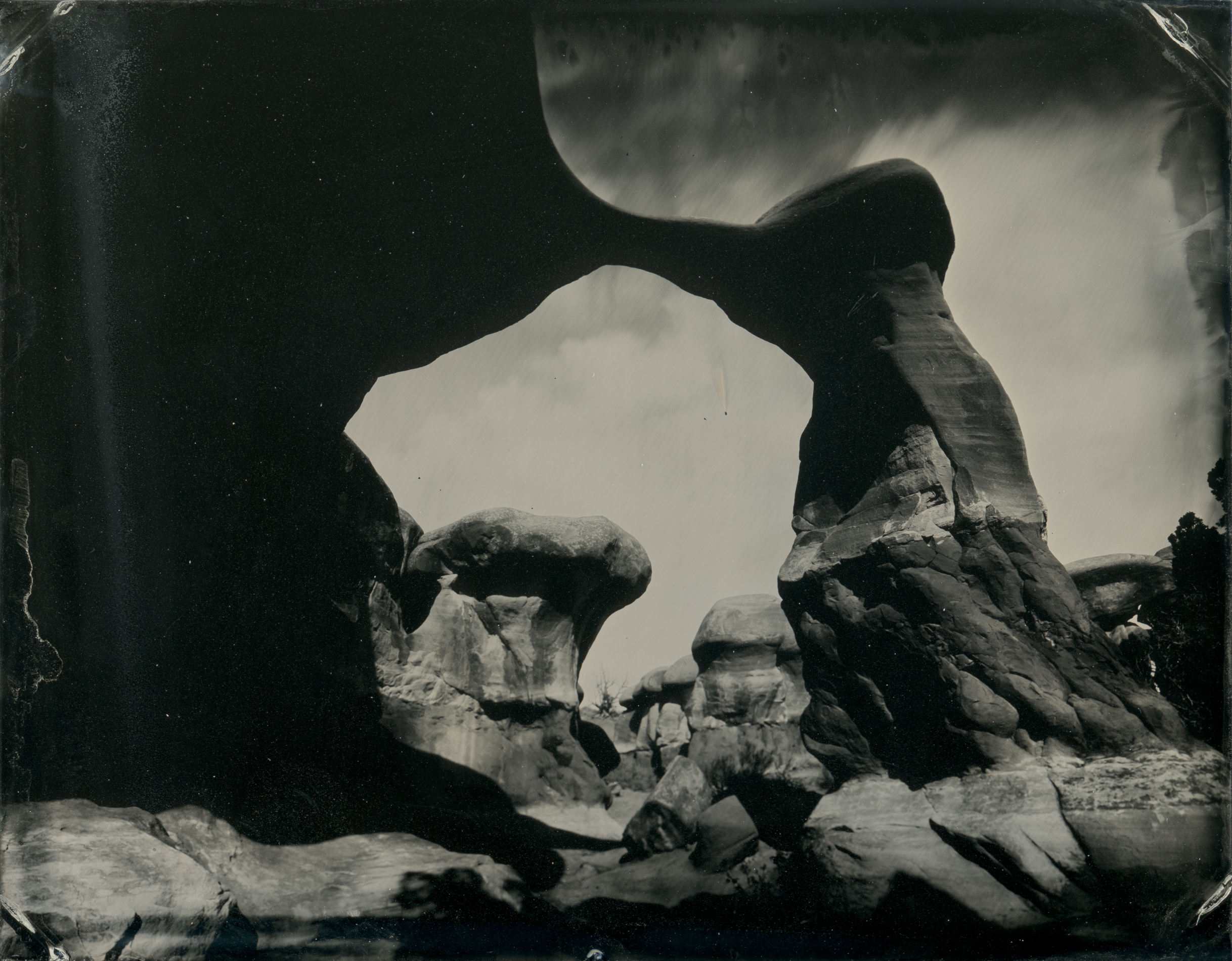
After Devil’s Garden I met up with some friends who live in Utah and, eventually, Shane. We agreed to meet under what the maps label “Chimney Rock”.
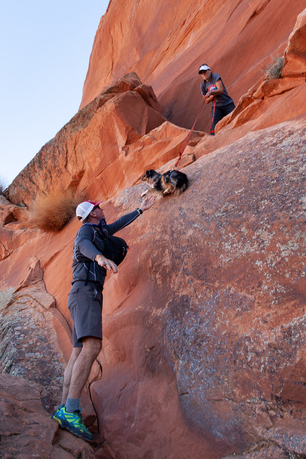
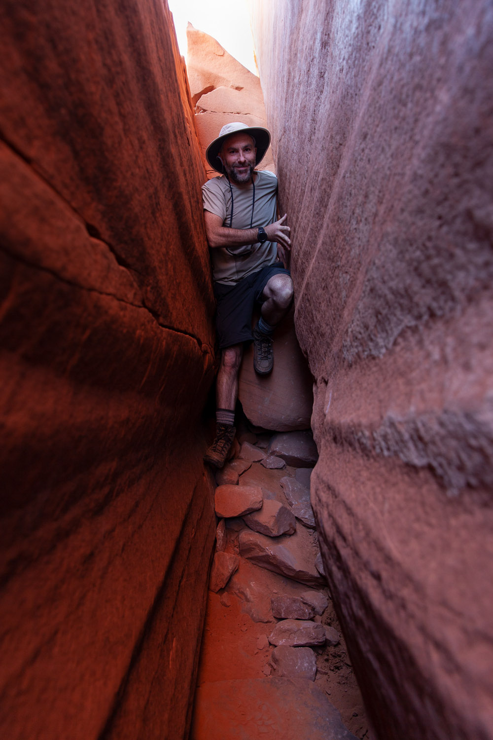
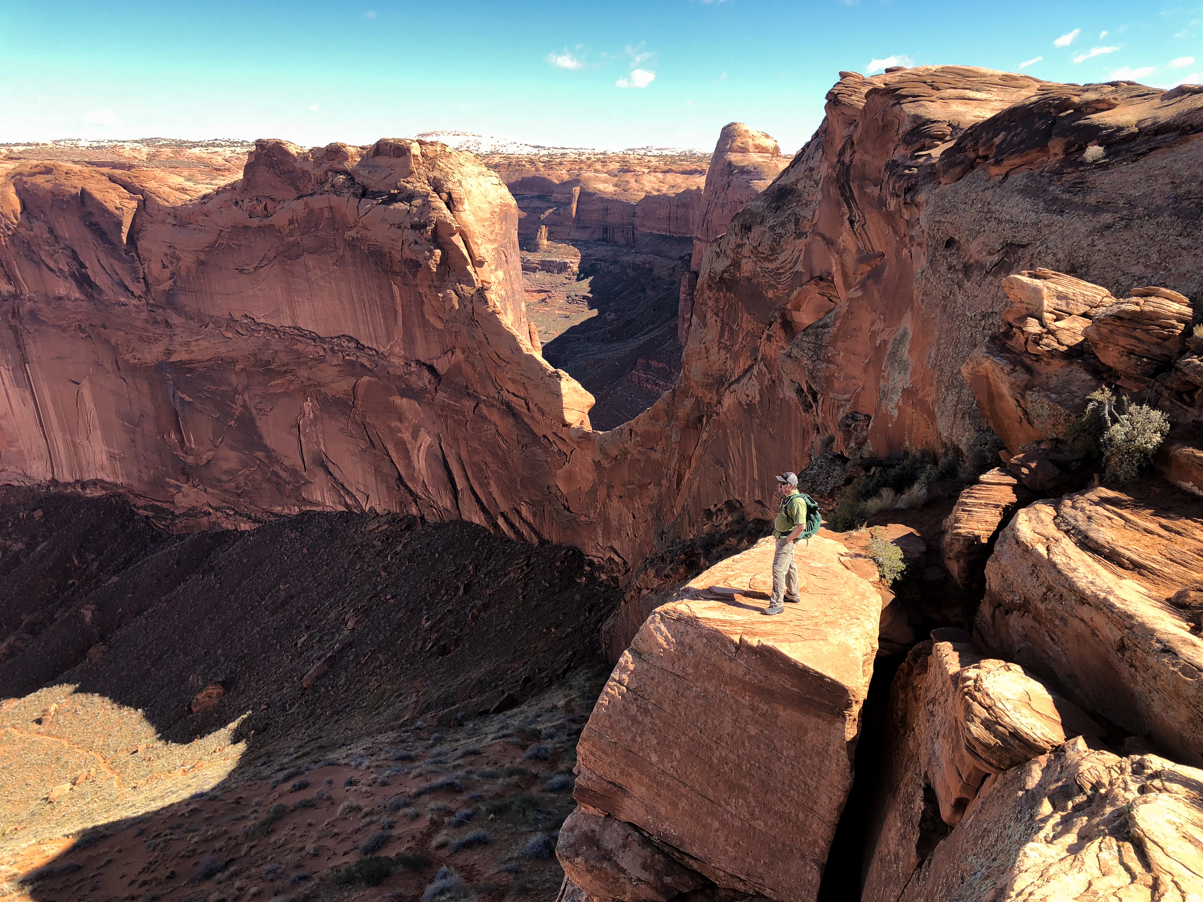
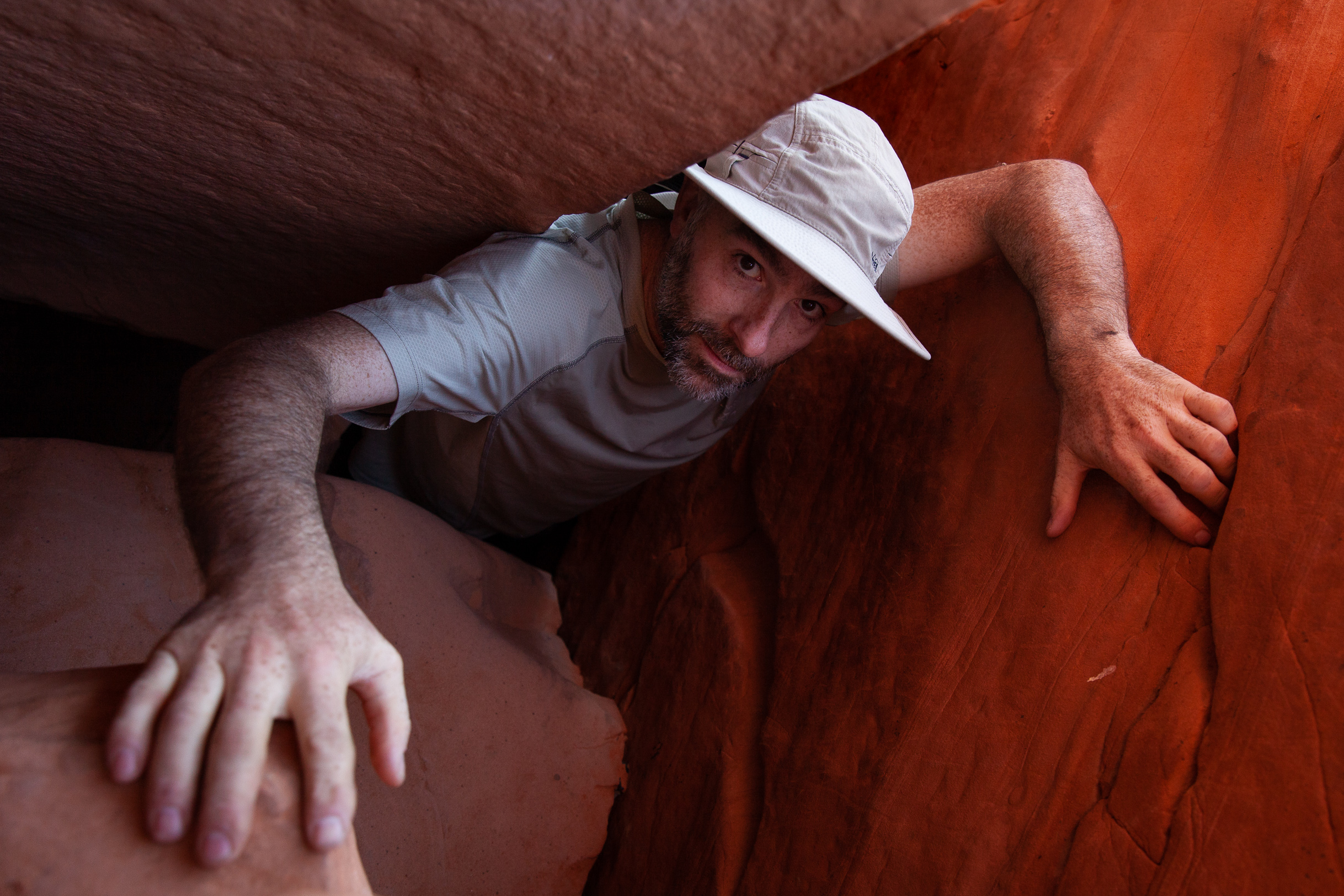
The next day Mike wedged us through a tiny crack (which, it turns out, is something of a theme with him) and we hiked on down in to the Stevens Arch area around the Escalante River.
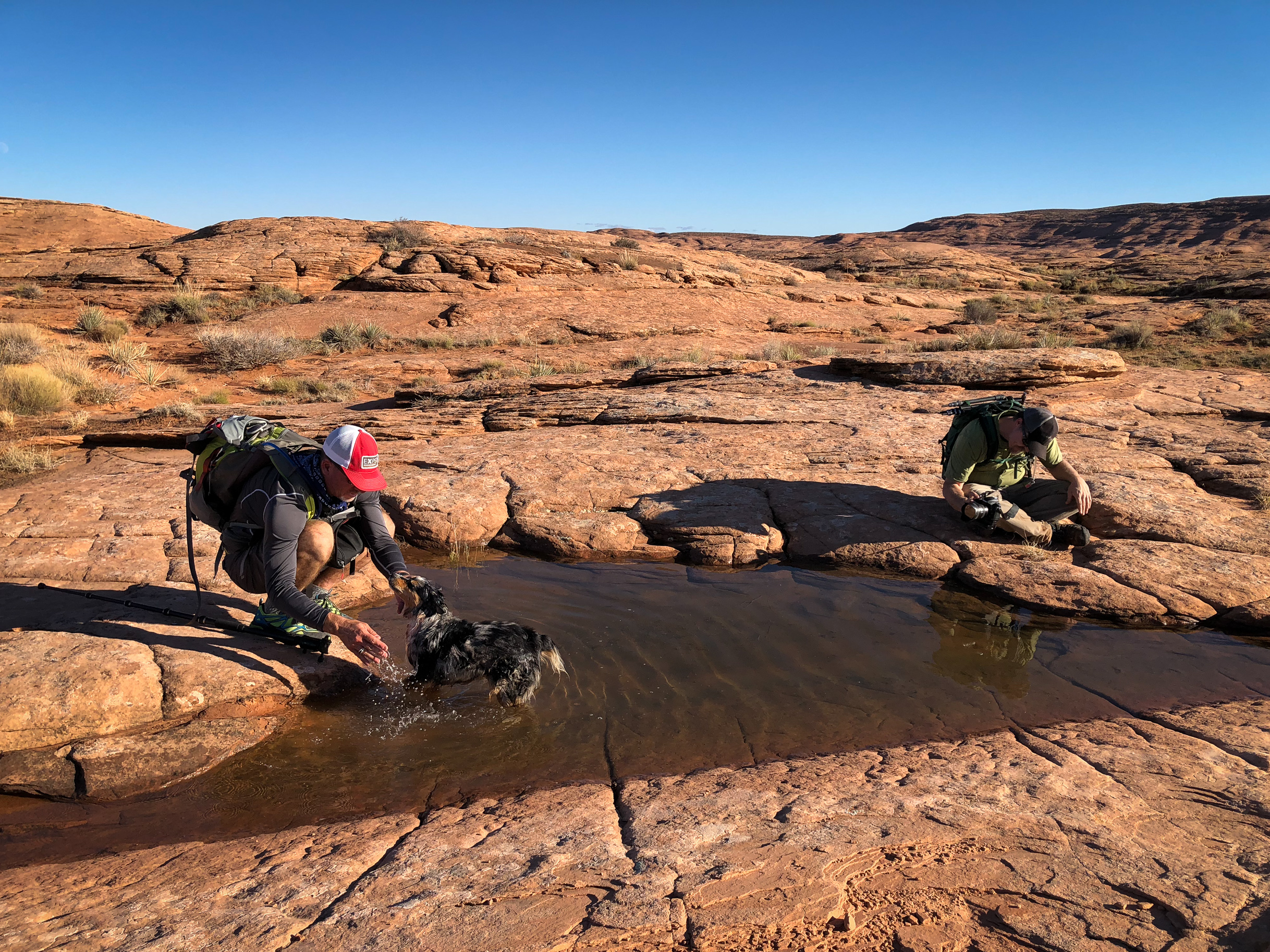
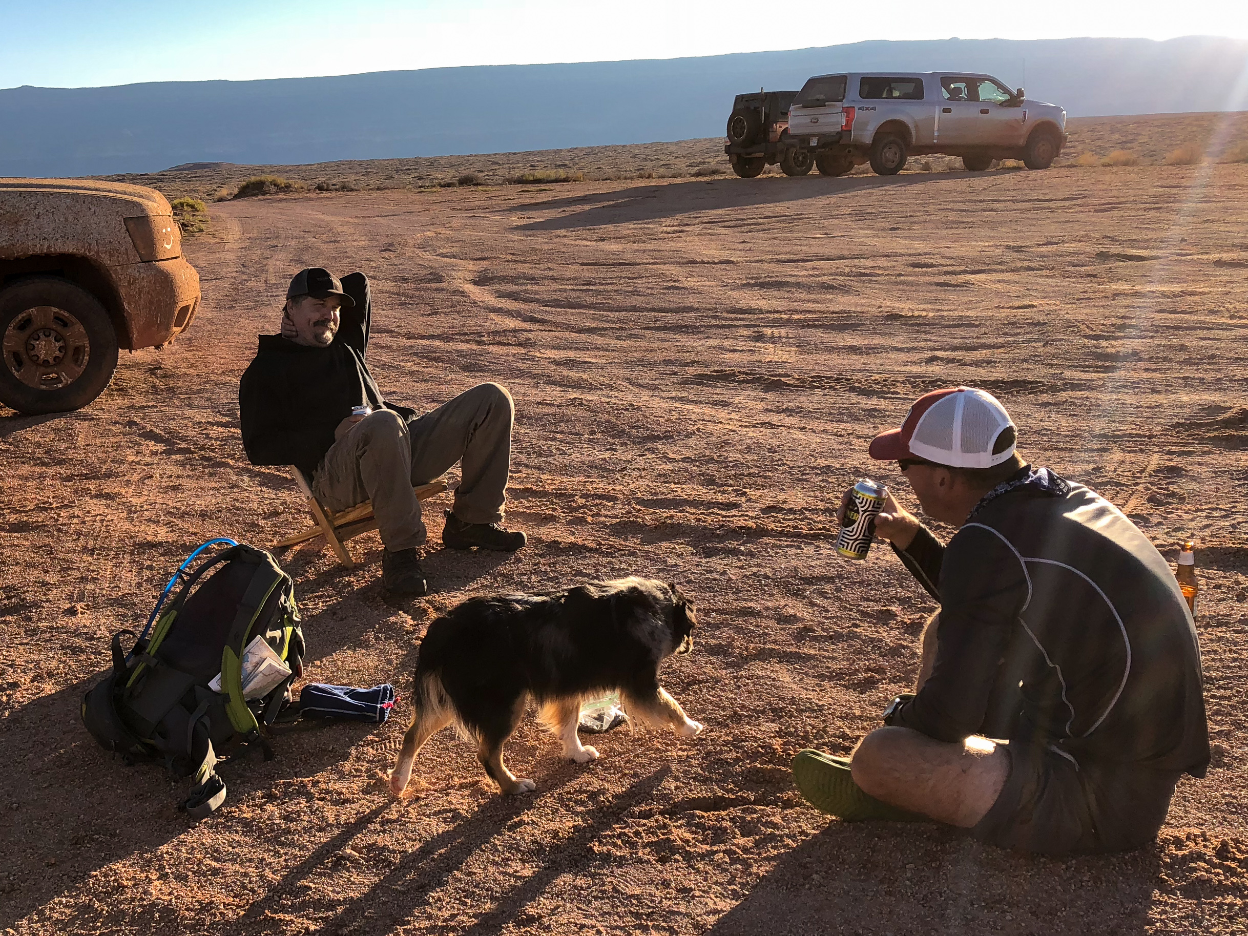
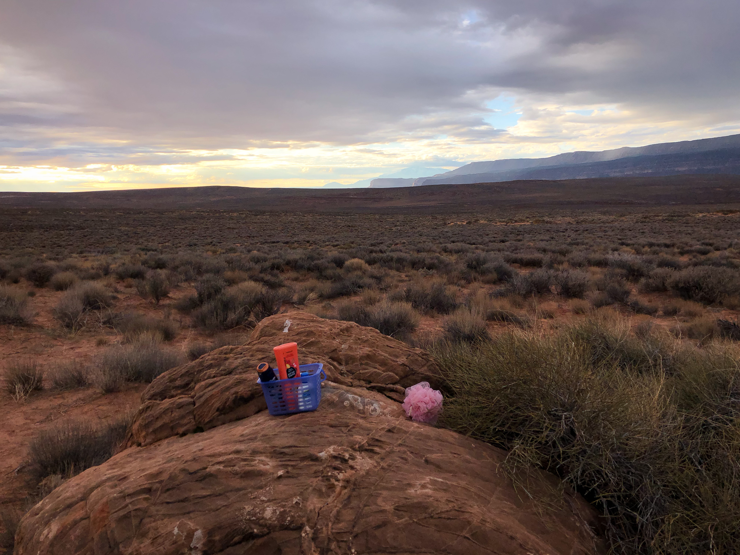
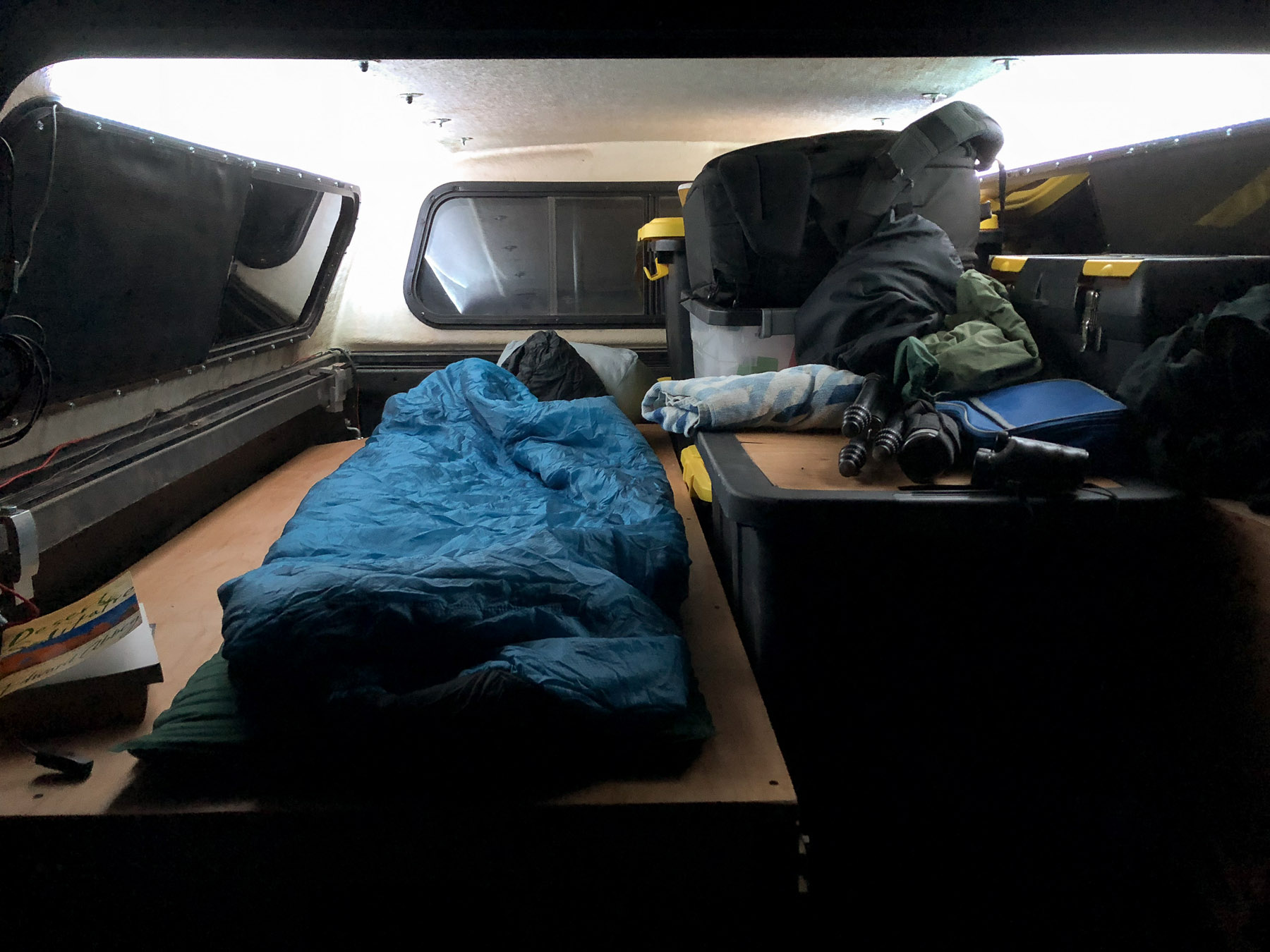
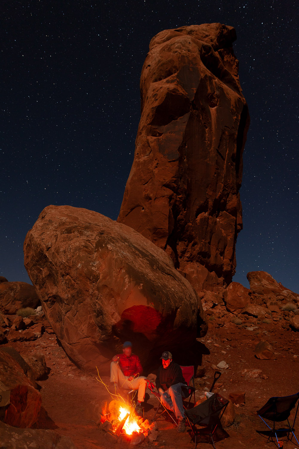
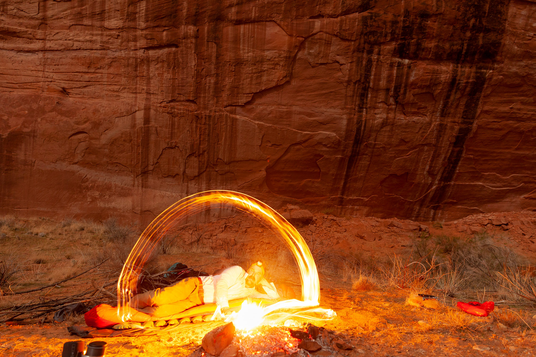
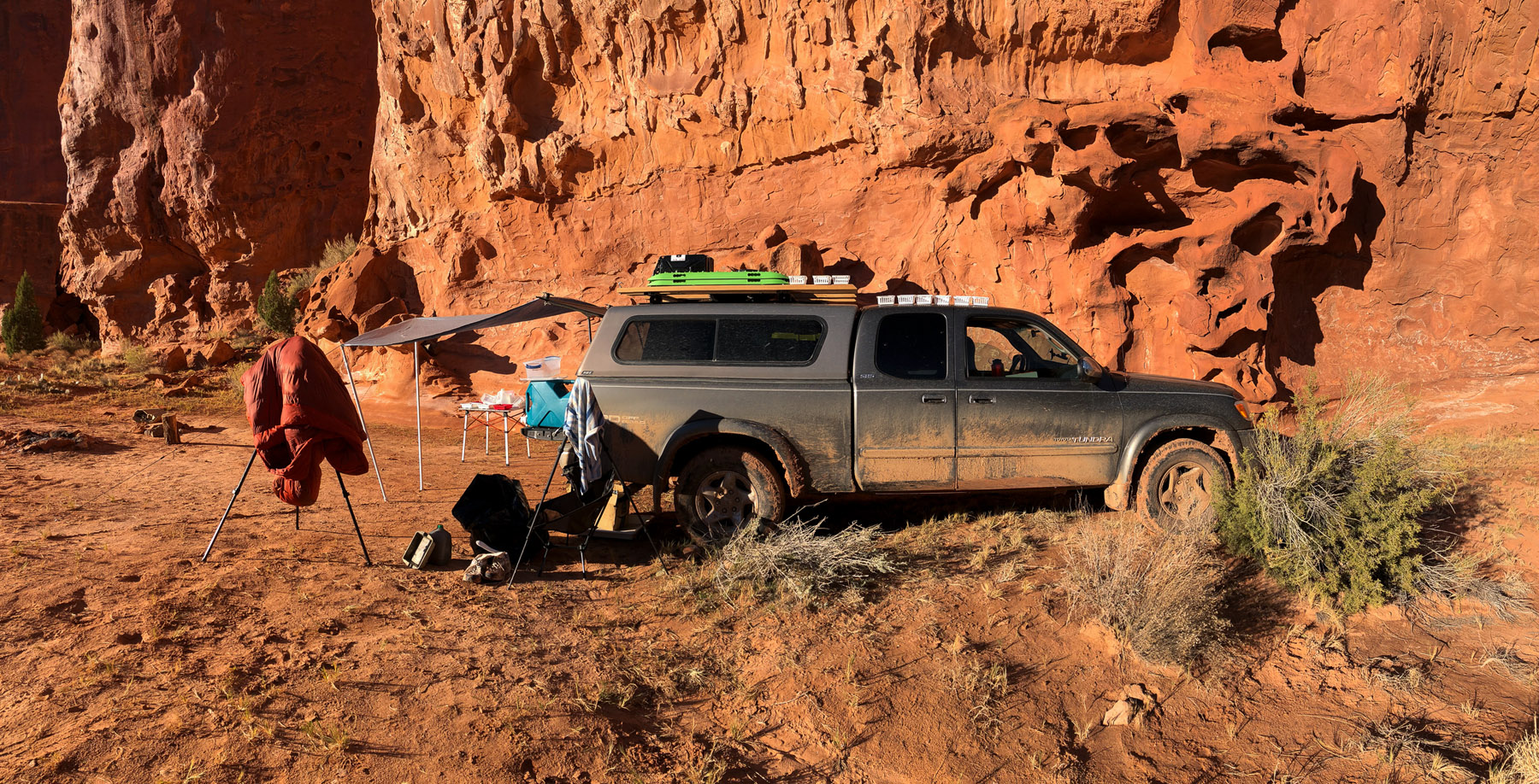
Some people take their camping hygiene very seriously.One of the reasons I was meeting up with Shane on this trip was because he needed me to help carry some of his gear down to a location he wanted to photograph way down Fifty Mile Canyon. So we hiked down one day, did the photography, and hiked back out the next morning.
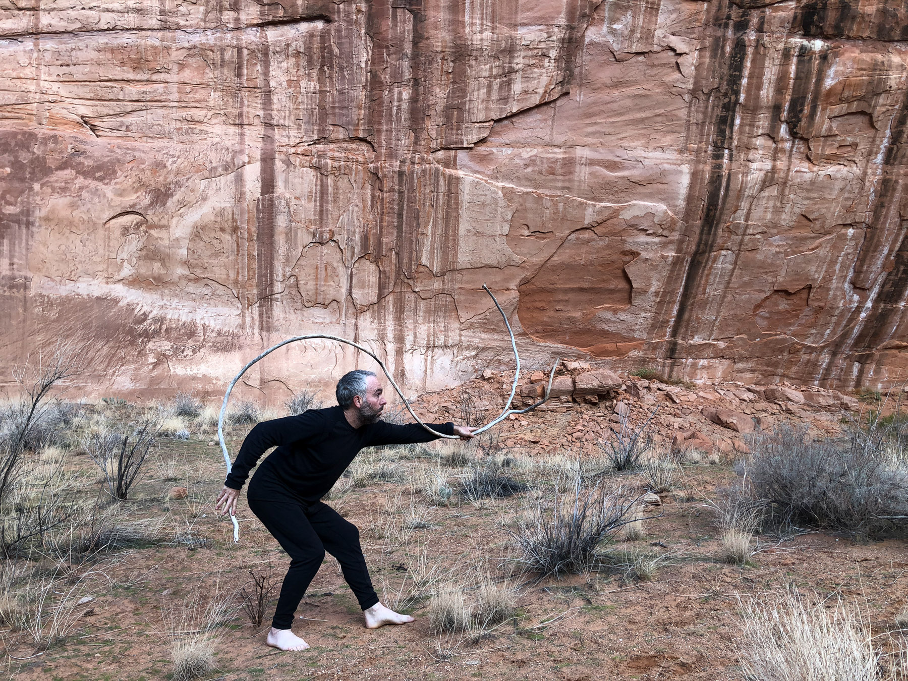
Fortunately for me Shane is as curious and playful with photography as I am (or more so) and whenever one of us gets to goofing around the other is happy to go along with it.
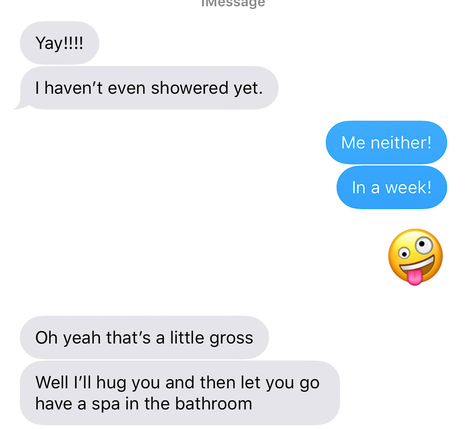
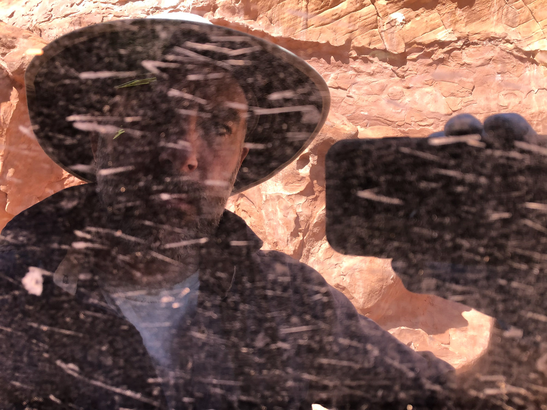
It’s always good to get back to a cell / wifi signal so I can update the missus.
After our hike out of 50 Mile Canyon we slogged back up Hole in the Rock Road and went around and down the Burr Trail and back into Grand Staircase-Escalante National Monument where, as it turns out, we’d spend most of the rest of the trip.
Shane would scout around looking for his 8×10 shots, while I’d set up my gear and make some tintypes. It was a good arrangement!
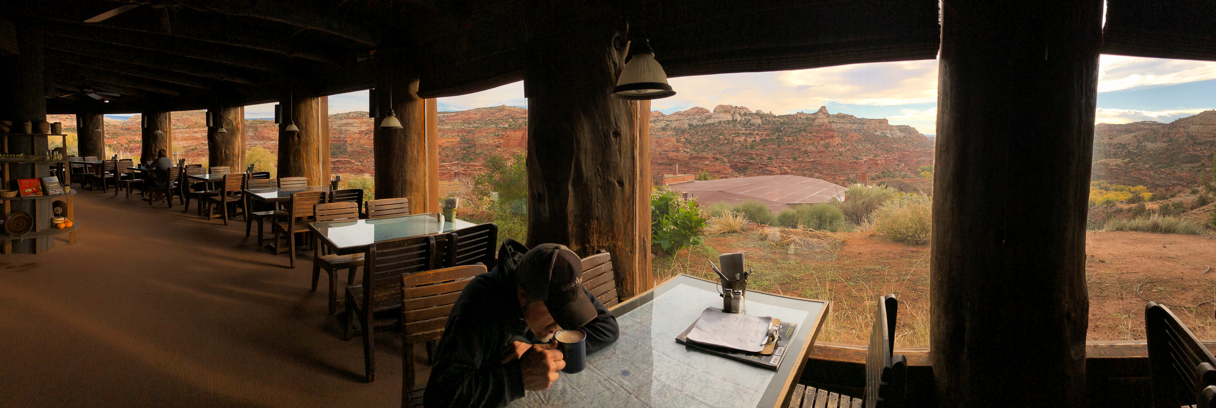
We spent more time down this canyon – or racing back to Boulder for burgers and wifi – than we had planned, so on the last couple days we raced up and around through Capitol Reef and down through Glen Canyon to Cedar Mesa.
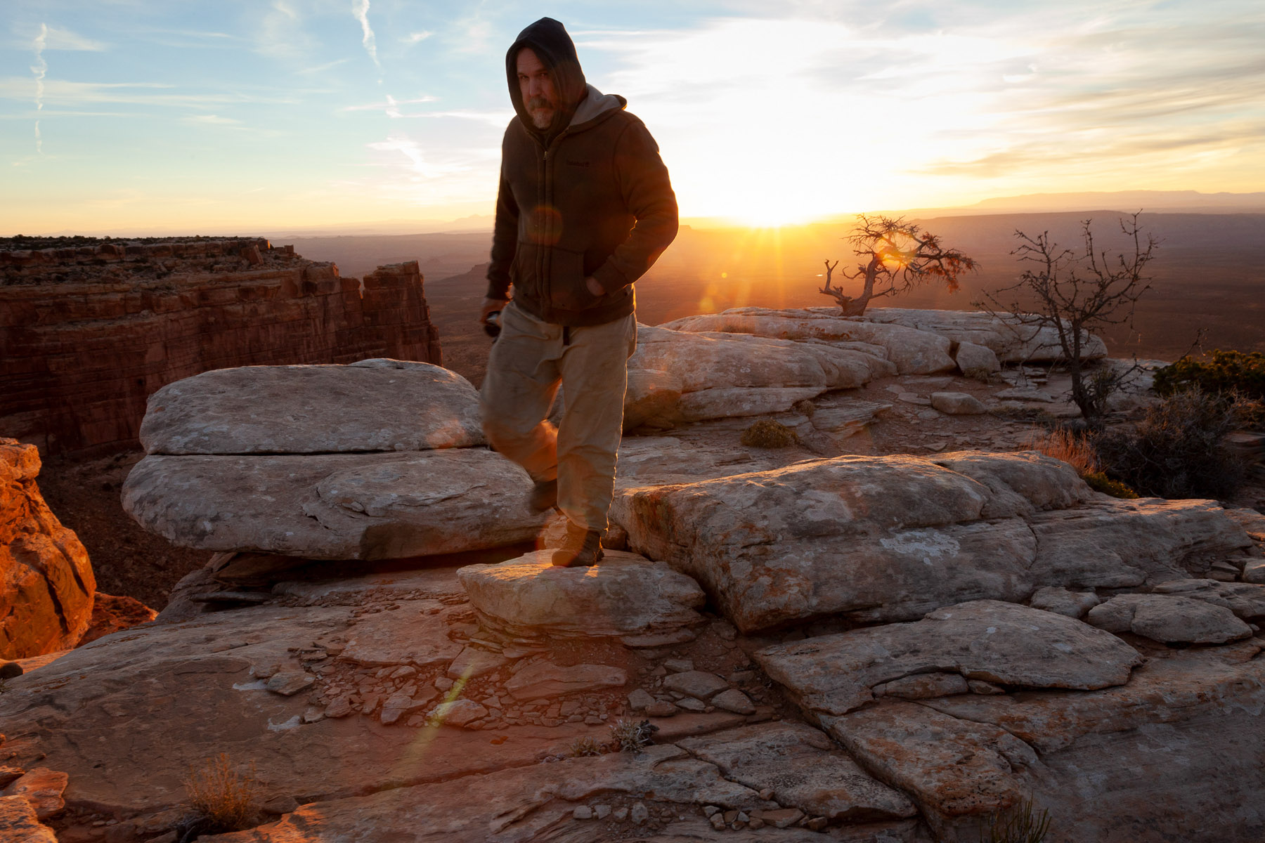
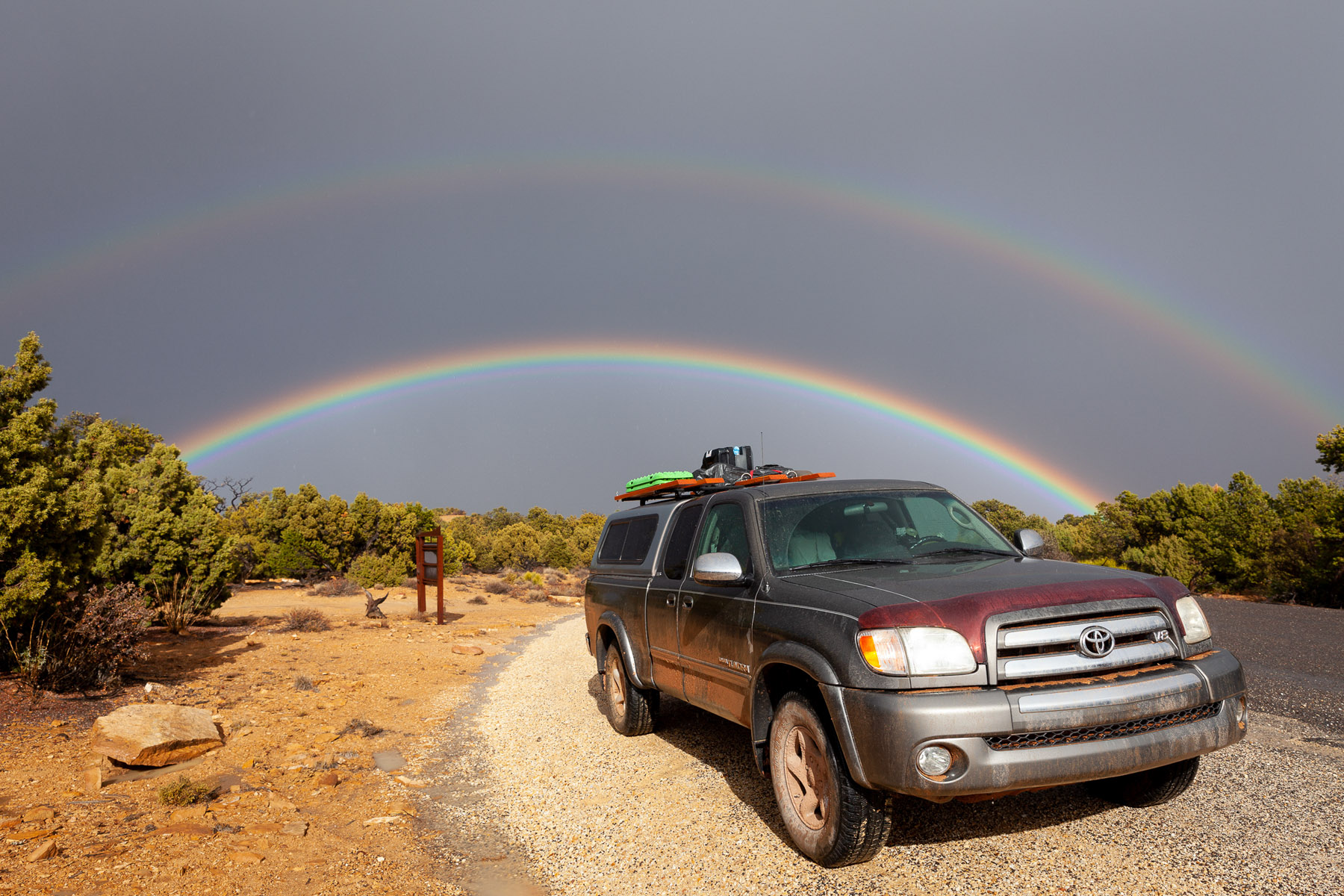
We camped our last night out near Muley Point.
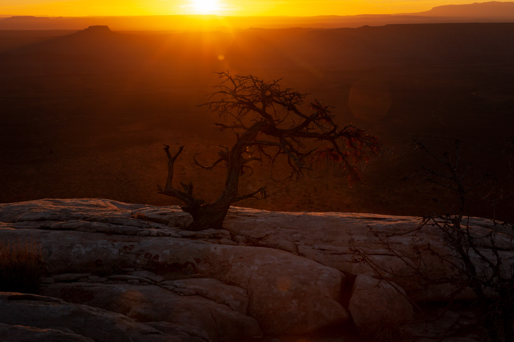
No trip to Cedar Mesa is complete without a couple of photos from the Moki Dugway.